Skip to content
Latest
Earthquake Alerts

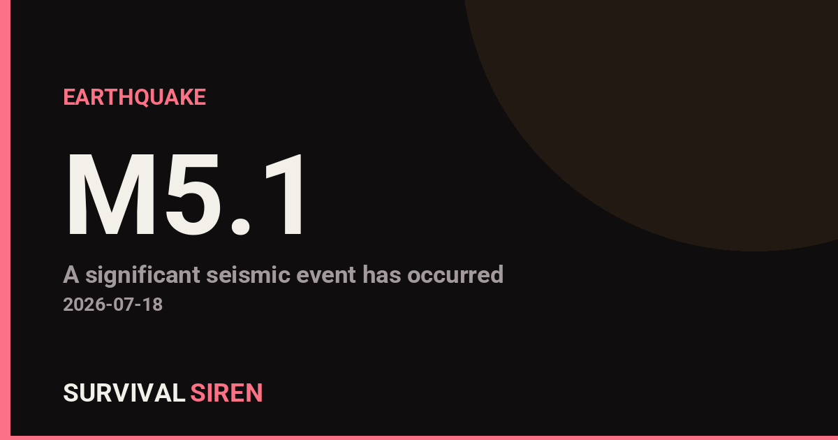
Magnitude 5.1 Earthquake Strikes Near Cayman Islands

Danial Ahmed Danial Ahmed
Updated September 2, 2026
Magnitude 5.1 Earthquake Strikes Near Cayman Islands

A moderate earthquake with a magnitude of 5.1 struck approximately 149 kilometers south of George Town, Cayman Islands, at a depth of roughly 10 kilometers, according to the U.S. Geological Survey (USGS). The relatively shallow depth means shaking was likely felt across the surrounding region, though significant damage is uncommon at this magnitude.

What You Might Experience

Residents and visitors in the Cayman Islands and nearby Caribbean areas probably felt noticeable shaking—strong enough to get attention but not typically destructive. People in buildings may have noticed items shifting on shelves or felt the ground moving beneath them. Areas closer to the epicenter would experience stronger shaking than distant locations.

Who This Affects

The primary impact zone includes the Cayman Islands and surrounding Caribbean territories. Given the offshore location and moderate magnitude, widespread damage is unlikely. Coastal communities should monitor local emergency management alerts for any tsunami advisories, though these are rare at this magnitude in this region.

What to Watch

Local updates: Check your regional emergency management agency for any official statements or advisories. Caribbean authorities typically issue rapid assessments following moderate quakes. Aftershocks: Magnitude 5+ earthquakes sometimes produce smaller aftershocks over the following hours or days. These are generally less intense than the initial quake but worth noting if you live in the region. Preparedness check: Use this as a reminder to review your earthquake kit—secure heavy furniture, know your safe spots in each room, and ensure your household has water, first aid supplies, and a battery-powered radio.

For ongoing seismic activity and space weather monitoring, visit the live dashboard at https://survivalsiren.com/spaceweather/feed.html, where NOAA and USGS data are continuously updated.

Source: USGS
Related Reading

Related Stories

M6.8 Earthquake Strikes Near Lospalos, Timor-Leste

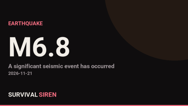
A magnitude 6.8 earthquake struck 103 km NE of Lospalos, Timor Leste at a depth of about 143 km, reported by the USGS. Earthquakes of this size can cause significant damage to vulnerable structures near the epicenter. This is at least the 22nd magnitude 5.0+ earthquake recorded within roughly 300 km of this location in the past year (21 others in that window). The nearest major population center is Denpasar, Indonesia, roughly 1360 km away (population ~900,000).

Magnitude 6.7 Earthquake Strikes Near Carhuamayo, Peru — Deep Quake Felt Across Central Region

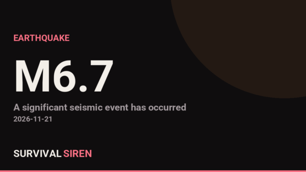
A magnitude 6.7 earthquake struck 9 km NE of Carhuamayo, Peru at a depth of about 108 km, reported by the USGS. Earthquakes of this size can cause significant damage to vulnerable structures near the epicenter. This is at least the 5th magnitude 5.0+ earthquake recorded within roughly 300 km of this location in the past year (4 others in that window). The nearest major population center is Lima, Peru, roughly 176 km away (population ~10.7 million).

Magnitude 6.1 Earthquake Strikes Remote Pacific-Antarctic Ridge

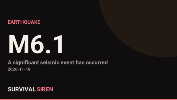
A magnitude 6.1 earthquake struck Pacific-Antarctic Ridge at a depth of about 10 km, reported by the USGS. Earthquakes of this size can cause significant damage to vulnerable structures near the epicenter. This is at least the 3rd magnitude 5.0+ earthquake recorded within roughly 300 km of this location in the past year (2 others in that window). The nearest major population center is Christchurch, New Zealand, roughly 3204 km away (population ~380,000).

Leave a Reply

Join our Newsletter

Subscribe to get our latest content by email.

We won't send you spam. Unsubscribe at any time.