
A powerful hurricane is affecting Mexico’s Pacific coastline this week. Tropical cyclone SIMON-26, active from October 7 to October 10, 2026, has reached maximum sustained winds of 241 km/h (about 150 mph) — well above the 119 km/h (74 mph) threshold that defines a hurricane. That places it in major-hurricane territory, comparable to a Category 4 storm on the Saffir-Simpson scale.
The Global Disaster Alert and Coordination System (GDACS) has classified this event as a Red alert, its highest severity level. An estimated 749,000 people in Mexico are in areas experiencing winds of at least 120 km/h (Category 1 strength or higher). GDACS rates Mexico’s overall vulnerability to this event as Medium, reflecting both the storm’s strength and local capacity to respond.
What readers in affected areas may notice
Coastal and inland communities in the storm’s path can expect destructive winds, torrential rain, flash flooding, and dangerous storm surge along the coast. Power outages, downed trees, blocked roads, and disrupted communications are likely in the hardest-hit zones. Landslides are a serious risk in mountainous terrain as heavy rain saturates hillsides. Airports and highways in the region may close with little notice, and ferry or port operations along the Pacific coast will be suspended.
Sensible steps to take now:
1. If you are in an evacuation zone identified by Mexican civil protection authorities (Protección Civil), leave early — do not wait for conditions to deteriorate. 2. Keep phones charged, store drinking water, and avoid driving through flooded roads; even 30 cm of moving water can sweep away a vehicle. 3. After the storm passes, watch for continuing flash-flood and landslide warnings, especially at night, and stay clear of downed power lines.
Data for this alert comes from GDACS (the EU Joint Research Centre’s Global Disaster Alert and Coordination System), with tropical cyclone tracking based on NOAA and national meteorological agency advisories.
Frequently Asked Questions
How strong is Hurricane SIMON-26 right now?
Maximum sustained winds have been measured at 241 km/h (about 150 mph), making it a major hurricane comparable to a Category 4 storm. It is active from October 7 to October 10, 2026, in the Eastern Pacific.
How many people in Mexico are at risk?
GDACS estimates roughly 749,000 people are in areas experiencing winds of 120 km/h (Category 1 strength) or higher. Mexico's vulnerability to this event is rated Medium.
What does a GDACS 'Red' alert mean?
Red is GDACS's highest alert level, indicating a severe event with significant potential for casualties and damage requiring national and possibly international response. It is a signal to follow official evacuation and safety instructions closely.
What should I do if I'm in the storm's path?
Follow evacuation orders from Protección Civil, secure water and charged devices, and never drive through flooded roads. The greatest dangers are storm surge on the coast, flash flooding, and landslides inland — risks that can continue after the winds die down.
Keep tracking this:
Source: GDACS (EU Joint Research Centre)

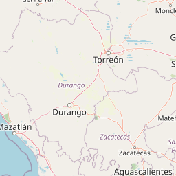
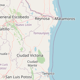

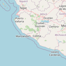
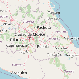


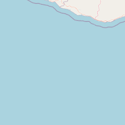
Map centered on the epicenter (17.60, -104.80). Map data © OpenStreetMap contributors.
Sky & Solar Conditions at the Time
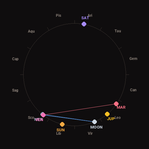
Moon: Waning Crescent (10% illuminated), in Virgo.
Notable planetary angles: Moon sextile Venus (61°), Mercury conjunct Venus (1°), Moon sextile Mercury (61°), Venus square Mars (93°).
Concurrent space weather: planetary Kp index 6.7; strongest recent solar flare: M2.4-class.
This is a factual snapshot, not a claim of cause and effect – researchers are divided on whether lunar, planetary or solar factors influence seismic or weather activity. It’s included so readers can track the pattern for themselves over time.