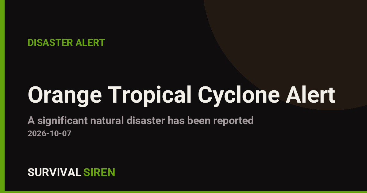
A tropical depression designated TWENTY-E-26 was active in the Eastern Pacific on October 7, 2026, prompting an Orange alert from the Global Disaster Alert and Coordination System (GDACS). The system carried maximum sustained winds of up to 176 km/h (about 109 mph) — strong enough to reach hurricane-level force at its peak, though it was classified as a tropical depression at the time of this alert.
Mexico is the country in the storm’s path, with an estimated 59,040 people living in areas expected to experience winds of 120 km/h (75 mph) or stronger — roughly equivalent to a Category 1 hurricane on the Saffir-Simpson scale. Coastal and near-coastal communities in the affected region face the greatest risk from damaging winds, heavy rainfall, flash flooding, and rough surf.
What readers might notice
Residents in the impact zone may see rapidly deteriorating weather: gusty winds, bands of heavy rain, downed tree limbs, localized flooding in low-lying areas, and power interruptions. Along the coast, dangerous waves and rip currents are likely, and small craft should stay in port. Travel disruptions — including flight delays and road closures — are possible while the system remains active.
Preparedness pointers:
• Follow local authorities. Mexico’s civil protection agency (Protección Civil) and the National Meteorological Service (SMN) issue local watches and evacuation orders — these take priority over general forecasts.
• Secure the basics now. Bring in outdoor items, charge phones and power banks, fill containers with drinking water, and know where your nearest shelter is if you live in a flood-prone or coastal area.
• Avoid floodwater and the shoreline. Fast-moving water just 30 cm (1 foot) deep can knock a person down or move a vehicle. Stay off beaches until officials say conditions are safe.
This alert is based on data from GDACS, the EU Joint Research Centre’s Global Disaster Alert and Coordination System, which draws on tropical cyclone information from NOAA and regional meteorological agencies.
Frequently Asked Questions
Which parts of Mexico are affected by this storm?
The system is in the Eastern Pacific, so coastal and near-coastal areas along Mexico's Pacific side are in the impact zone. About 59,000 people live in areas forecast to see winds of 120 km/h or higher.
How strong is Tropical Depression TWENTY-E-26?
Maximum winds reached 176 km/h (about 109 mph) — comparable to a Category 2-3 hurricane at peak, though the system was classified as a tropical depression in this alert. Wind speeds can vary widely along the storm's path.
What should I do right now if I'm in the affected area?
Follow Protección Civil and SMN bulletins, secure loose outdoor items, charge devices, and prepare to move inland or to a shelter if local officials issue an evacuation order. Avoid beaches, rivers, and flooded roads.
Is flooding a concern even if winds weaken?
Yes. Tropical systems often cause their worst damage through heavy rain, flash floods, and mudslides well after peak winds drop, especially in hilly or mountainous terrain. Continue monitoring local alerts even if the wind seems to ease.
Keep tracking this:
Source: GDACS (EU Joint Research Centre)
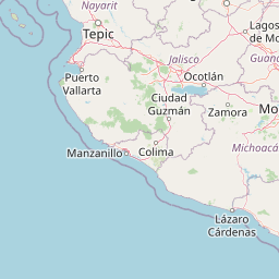
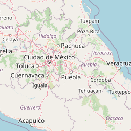
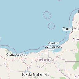

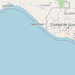



Map centered on the epicenter (14.10, -100.90). Map data © OpenStreetMap contributors.
Sky & Solar Conditions at the Time
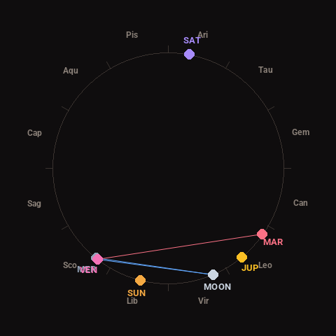
Moon: Waning Crescent (10% illuminated), in Virgo.
Notable planetary angles: Moon sextile Venus (61°), Mercury conjunct Venus (1°), Moon sextile Mercury (61°), Venus square Mars (93°).
Concurrent space weather: planetary Kp index 1.0; strongest recent solar flare: nothing notable.
This is a factual snapshot, not a claim of cause and effect – researchers are divided on whether lunar, planetary or solar factors influence seismic or weather activity. It’s included so readers can track the pattern for themselves over time.