
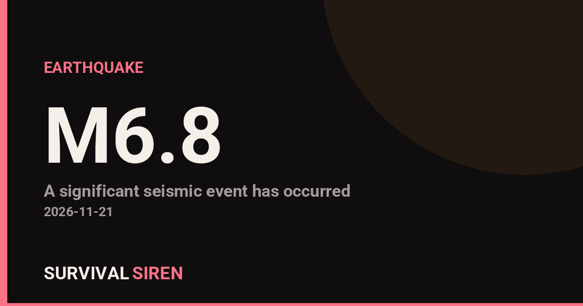
A magnitude 6.8 earthquake struck about 103 km northeast of Lospalos, Timor-Leste, according to the USGS. The quake occurred at a depth of roughly 143 km, which is considered a deep earthquake. Depth matters: deeper quakes tend to be felt over a wide area but usually cause less intense shaking at the surface than a shallow quake of the same size.
Shaking may have been felt across Timor-Leste and nearby islands of eastern Indonesia. The nearest major population center is Denpasar, Indonesia, roughly 1,360 km away, where any shaking would have been very light if felt at all. Because of the quake’s depth, significant structural damage is less likely than it would be for a shallow event, though older or poorly built structures closer to the epicenter could still be affected. Officials have not reported a tsunami threat, and deep earthquakes like this one rarely generate tsunamis because the seafloor is displaced less than in shallow quakes.
This region is seismically active. This is at least the 22nd earthquake of magnitude 5.0 or greater recorded within roughly 300 km of this location in the past year, reflecting the complex tectonic boundary where the Australian and Sunda plates meet beneath the Banda Sea.
What to watch for
If you are in the affected area: expect possible aftershocks over the coming days, some of which may be felt. Check your home or workplace for cracks or other damage before resuming normal activity, especially in older buildings. Follow guidance from local authorities and the Timor-Leste government for any official damage assessments or safety instructions. Keep a basic emergency kit accessible, including water, a flashlight, and sturdy shoes, as a standard precaution in this active seismic zone.
Data for this alert comes from the U.S. Geological Survey (USGS) earthquake monitoring network.
Frequently Asked Questions
Was this earthquake felt in Denpasar or other major cities?
Denpasar is roughly 1,360 km from the epicenter, so any shaking there would be very light or not felt at all. The strongest shaking was confined to Timor-Leste and nearby islands of eastern Indonesia.
Is a tsunami possible from this earthquake?
A tsunami is very unlikely. At 143 km deep, the quake occurred far below the seafloor, and deep earthquakes rarely displace enough water to generate a tsunami. No tsunami threat has been reported.
Will there be aftershocks?
Aftershocks are common after a magnitude 6.8 event and could continue for days, though deep earthquakes typically produce fewer and smaller aftershocks than shallow ones. People in the region should be prepared for occasional additional shaking.
Is this area prone to earthquakes?
Yes. At least 22 earthquakes of magnitude 5.0 or greater have occurred within about 300 km of this location in the past year, making the Banda Sea region one of the more seismically active areas in Southeast Asia.
Keep tracking this:
Source: USGS
Related Reading
- Bug Out Bags: What the Best-Selling 72-Hour Kits on Amazon Actually Deliver
- Top 10 YouTube Videos on How to Prepare for an Earthquake
- Global Seismic Stress Report: Southern Ocean Activity Rises While Six Segments Go Quiet
Reported Impact
USGS’s automated PAGER system currently estimates a Green alert level (minimal expected casualties or damage).
Impact figures are from USGS as of when this alert was generated and can rise as more reports come in – this is not a final damage assessment.
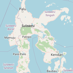
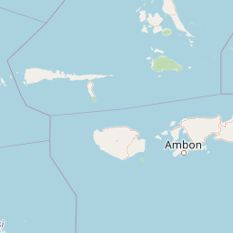
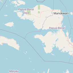
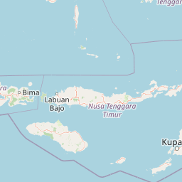
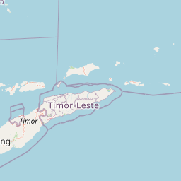

Map centered on the epicenter (-7.76, 127.54). Map data © OpenStreetMap contributors.
Sky & Solar Conditions at the Time
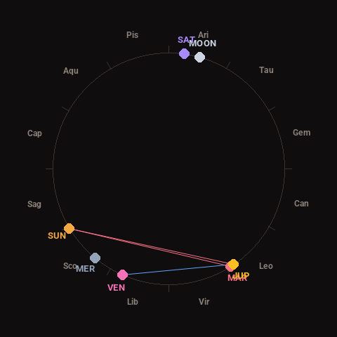
Moon: Waxing Gibbous (87% illuminated), in Aries.
Notable planetary angles: Sun square Mars (91°), Mars conjunct Jupiter (2°), Venus sextile Jupiter (58°), Sun square Jupiter (93°).
Concurrent space weather: planetary Kp index 1.3; strongest recent solar flare: nothing notable.
This is a factual snapshot, not a claim of cause and effect – researchers are divided on whether lunar, planetary or solar factors influence seismic or weather activity. It’s included so readers can track the pattern for themselves over time.
Earthquakes Within ~400 km, Past 30 Days
For context, here is other recent seismic activity in the surrounding region (M2.5+, via USGS):
| Date & Time (UTC) | Magnitude | Location |
|---|---|---|
| 2026-11-20 16:41 UTC | M4.4 | 109 km NNE of Lospalos, Timor Leste |
| 2026-11-19 21:49 UTC | M4.5 | 236 km W of Tual, Indonesia |
| 2026-11-17 11:15 UTC | M4.2 | 141 km NE of Lospalos, Timor Leste |
| 2026-11-16 07:08 UTC | M4.3 | 297 km SSE of Amahai, Indonesia |
| 2026-11-15 20:51 UTC | M5.0 | 256 km SSE of Ambon, Indonesia |
| 2026-11-15 16:06 UTC | M4.2 | 273 km W of Tual, Indonesia |
| 2026-11-11 11:32 UTC | M5.1 | Pulau Pulau Tanimbar, Indonesia |
| 2026-11-10 01:53 UTC | M5.4 | Pulau Pulau Tanimbar, Indonesia |
| 2026-11-02 11:18 UTC | M4.4 | Banda Sea |
| 2026-11-02 00:53 UTC | M5.1 | Banda Sea |
| 2026-11-01 10:31 UTC | M4.4 | 259 km S of Ambon, Indonesia |
| 2026-10-31 13:10 UTC | M4.3 | Banda Sea |
| 2026-10-30 16:54 UTC | M4.2 | 269 km NNE of Lospalos, Timor Leste |
| 2026-10-29 11:38 UTC | M4.6 | Pulau Pulau Tanimbar, Indonesia |
| 2026-10-28 22:06 UTC | M5.7 | 271 km WSW of Tual, Indonesia |
| 2026-10-28 03:44 UTC | M4.3 | Banda Sea |
| 2026-10-27 20:11 UTC | M4.3 | 123 km N of Metinaro, Timor Leste |
| 2026-10-26 14:17 UTC | M4.2 | 129 km NE of Lospalos, Timor Leste |
| 2026-10-25 23:32 UTC | M4.2 | 179 km NNW of Maubara, Timor Leste |
| 2026-10-25 19:26 UTC | M4.4 | 250 km WSW of Tual, Indonesia |