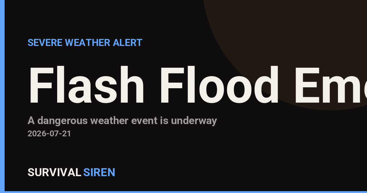
The National Weather Service Charleston office has issued a Flash Flood Emergency for Lewis, Randolph, and Upshur counties in West Virginia, effective from 7:26 PM through 10:30 PM EDT on July 21. This is the highest alert level for flooding and indicates that flooding is imminent or already occurring in these areas.
A Flash Flood Emergency means conditions are dangerous and life-threatening. Heavy rainfall has created rapid water runoff that can sweep away vehicles, flood buildings quickly, and make roads impassable within minutes. If you live in or are traveling through Lewis, Randolph, or Upshur counties during this window, take this alert seriously.
What You Might Notice
Residents in affected areas may see rising water in creeks and streams, water flowing across roads, basement seepage, and rapidly changing water levels. Even small waterways can become dangerous torrents during flash floods. Urban areas with poor drainage and rural areas near waterways are particularly vulnerable.
Who This Affects: Anyone in Lewis, Randolph, or Upshur counties should monitor conditions closely. If you have family or friends in these areas, check on them and encourage them to move to higher ground if instructed by local authorities.
Practical Steps Right Now
1. Move to higher ground immediately if you’re in a flood-prone area or near a stream or creek. Don’t wait for an evacuation order if you feel unsafe.
2. Never drive or walk through flooded roads. Just 6 inches of moving water can knock a person down; 2 feet can sweep away a vehicle. Turn around and find an alternate route.
3. Stay informed through local NWS updates and local emergency management.** Keep your phone charged and have a battery-powered radio on hand if power goes out.
Flash flood situations change rapidly. This emergency is expected to end by 10:30 PM, but always stay alert to updated warnings from your local National Weather Service office.
For live space weather and severe weather monitoring, visit the SurvivalSiren dashboard at https://survivalsiren.com/spaceweather/feed.html.
Source: National Weather Service (NWS)
Related Reading
Sky & Solar Conditions at the Time
Moon: First Quarter (55% illuminated), in Scorpio.
Notable planetary angles: Moon square Jupiter (91°), Mars sextile Saturn (61°), Mercury square Saturn (92°), Venus square Mars (87°).
Concurrent space weather: planetary Kp index 2.7; strongest recent solar flare: M1.2-class.
This is a factual snapshot, not a claim of cause and effect – researchers are divided on whether lunar, planetary or solar factors influence seismic or weather activity. It’s included so readers can track the pattern for themselves over time.