Right now, in Sudan’s North Kordofan state, a city called El-Obeid is being tracked in near real time by people who have never set foot there. Analysts at the Armed Conflict Location & Event Data Project have reported troop movements roughly 60 kilometres north, south and west of the city, a pattern that reads as a prelude to a ground assault long before any wire service confirms one. This is OSINT conflict early warning doing exactly what it is designed to do: turning scattered, publicly available signals into a coherent picture of where violence is heading, days or weeks ahead of the news cycle.
That capability is not new, but it has matured into something closer to a formal discipline. Open-source intelligence, or OSINT, means exactly what it says: intelligence built entirely from information anyone can access, not classified feeds. What has changed is the scale, speed, and institutional weight now behind it. Governments, journalists, humanitarian agencies, and volunteer researchers are all drawing from the same wells of satellite imagery, social media, and structured event data, and increasingly reaching similar conclusions before official channels catch up.
From Newspaper Clippings to a Federated Intelligence Discipline
OSINT is often treated as a product of the smartphone era, but its institutional roots go back much further. As one CSIS analysis notes, the U.S. intelligence community has drawn on a nascent form of OSINT since the founding of the Foreign Broadcast Information Service in 1941, largely for translating foreign press and monitoring gray literature. For most of the Cold War, this was a supporting discipline, useful but subordinate to human and signals intelligence.
That hierarchy has now formally flipped. In March 2024, the Office of the Director of National Intelligence and the CIA released a joint strategy explicitly designed to make open-source data the INT of first resort for American intelligence agencies, a deliberate reversal of decades of favoring secretive sources. The reasoning is straightforward: the volume of public and commercially available data has exploded past what classified collection alone can process, and artificial intelligence now makes it feasible to extract signal from that noise at speed. By December 2024, ODNI had gone further, issuing formal citation standards for how analysts reference commercial and AI-generated data, which is essentially bureaucratic recognition that OSINT has become too important to treat casually.
The Toolkit That Makes Early Warning Possible
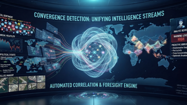
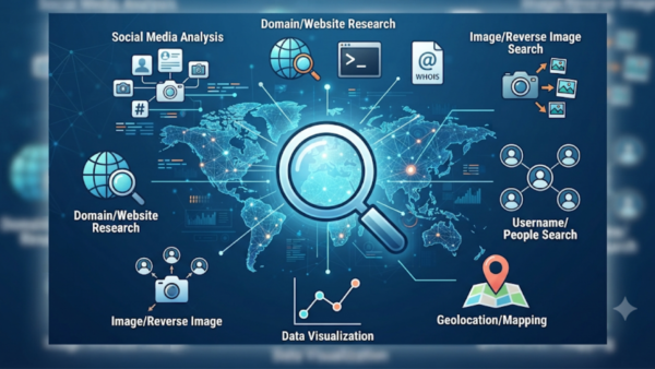
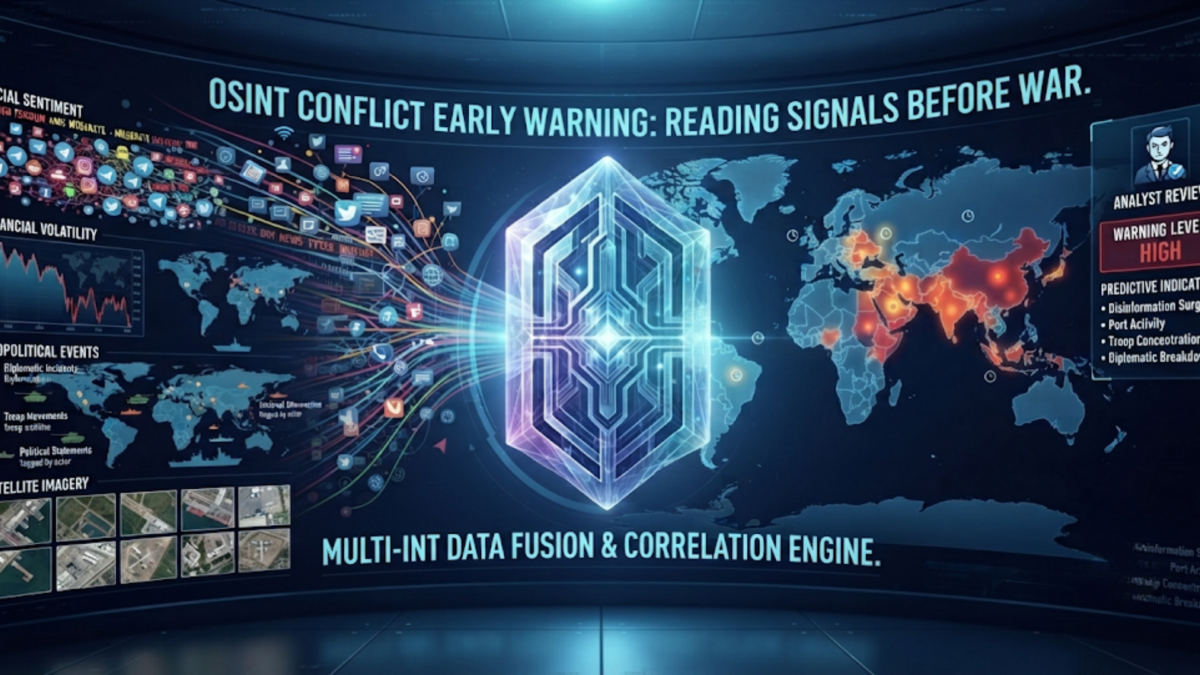
Three overlapping layers make modern OSINT conflict early warning work: persistent satellite coverage, structured event databases, and crowdsourced verification.
Commercial satellite operators now provide a kind of mutual surveillance that no government fully controls. Planet Labs and Vantor (formerly Maxar) run constellations that trade off resolution against frequency, one imaging almost the entire planet daily, the other capturing extremely fine detail on demand. That combination is precisely what caught Russia’s 2021 mobilization before the invasion: SkySat imagery from Yelnya, Russia showed the buildup of infrastructure and vehicles about 160 miles north of Ukraine months before the tanks moved. The same architecture was on display during the 2026 Iran war, when commercial imagery from Planet Labs and Vantor let outlets document strike damage at facilities like Fordow and Bandar Abbas within hours of the attacks, often before the Pentagon itself had released details.
Structured event data adds the quantitative backbone. ACLED, founded in 2005 as a research initiative and now a nonprofit tracking political violence across more than 200 countries, codes armed clashes, demonstrations, riots, and strategic developments by date, location, actors, and fatalities, and its Early Warning Dashboard and Conflict Alert System are built specifically to flag emerging hotspots before they escalate. GDELT operates on a different but complementary logic, automatically parsing global news coverage in over 100 languages into structured events, and its Daily Trend Report highlights the countries showing the sharpest movement toward conflict over the previous 48 hours.
Then there is the verification layer that made OSINT a household term: Bellingcat. Founded by Eliot Higgins in 2014 after he stumbled into geolocating Syrian civil war footage using satellite imagery, the collective built its reputation by proving Russian responsibility for the downing of Malaysia Airlines Flight 17, a conclusion later confirmed by the Dutch-led joint investigation team, which found the Russian military had shot the aircraft down using a Buk missile. That MH17 work established a methodology, cross-referencing satellite imagery, social media, and geolocation, that has since scaled into projects like the Eyes on Russia map, a crowdsourced effort tracking the Ukraine war in close to real time.
Case Studies That Prove the Model, and Complicate It
Ukraine is the cleanest example of OSINT beating official channels to the punch. Before the February 2022 invasion, open-source researchers were already dissecting footage of military convoys headed toward the Russian border, and as Bellingcat’s Eliot Higgins put it, the type of vehicles being moved gave the first indication that this was not simply a training exercise. That online scrutiny began even as Russian officials continued denying any invasion plans, a denial that satellite evidence had already been quietly undermining for months.
The 2026 Iran war offers a starker, faster version of the same dynamic. When U.S. and Israeli strikes began on February 28, 2026, satellite operators were tracking the aftermath almost as it happened; NPR reported that commercial imagery captured smoke still rising from Ayatollah Khamenei’s compound following the strike that killed him, alongside damage assessments of airbases and naval facilities across the country. Analysts had also been watching for months as diplomatic channels frayed, which meant the strikes, while shocking in their timing, were not entirely without open-source precedent.
Sudan’s El-Obeid situation is the live, unresolved test case. ACLED’s tracking of RSF troop concentrations around the city, combined with UN warnings and an open-source investigation that found at least 16 civilian and service targets had been damaged, including hospitals, schools, and power stations, is functioning as exactly the kind of early warning system this discipline is meant to provide. Whether that warning translates into intervention before the city falls, the way El-Fasher did in October 2025, remains an open question that no amount of open-source data can answer on its own.
Where the Model Breaks Down
OSINT conflict early warning is not a crystal ball, and treating it as one is where things go wrong. Three structural problems stand out.
The first is synthetic media. Generative AI tools have made convincing fabrication cheap, and OSINT teams that once relied on visual footage as near-ground-truth now have to assume any piece of visual content could be fabricated, turning verification into a forensic discipline rather than a quick lookup. Deepfakes complicate exactly the kind of rapid, crowdsourced confirmation that made Bellingcat’s model work in the first place.
The second is deliberate restriction of the data supply itself. Both Planet and Vantor began limiting or delaying imagery release over Gaza after October 2023, and imposed a broader, less-explained blackout over parts of the Middle East during the 2026 Iran war, a shift one nonproliferation researcher described as likely driven by embarrassing things that open-source information had revealed about the conflict. When the commercial satellite layer goes dark, the entire early warning stack loses its most reliable input.
The third is a harder, more academic problem: quantitative conflict prediction is just genuinely difficult. Researchers working with the Violence & Impacts Early-Warning System competition have found that even sophisticated forecasting models fall well short of a 50 percent true positive rate for predicting conflict incidence, with performance dominated by how rare conflict onset actually is. More data does not automatically mean more accurate warnings; it can just as easily mean more false positives to sift through, and OSINT investigators are the first to admit that information can be outdated, incomplete, or deliberately deceptive in ways that automated tools alone cannot filter out.
Where This Discipline Is Headed
The institutional momentum is unmistakable. Beyond the 2024 IC OSINT Strategy, the intelligence community has published a governance framework for commercially available information and new citation standards covering AI-generated analysis, all aimed at making OSINT tradecraft as rigorous as classified collection has traditionally claimed to be. Outside government, the response to satellite blackouts has been telling: after the U.S. curtailed Ukraine’s access to unclassified imagery in 2025, interest surged in sovereign, non-US space capabilities, and nonprofit efforts like Common Space are now trying to build satellites explicitly insulated from defense-industry pressure.
That tension, between OSINT as a tool of state power and OSINT as a check on it, is not going away. If anything, El-Obeid and Iran suggest it is intensifying: the same imagery that lets a government plan a strike also lets a journalist question its cost, and the same troop-movement data that lets a UN office issue a warning also exposes how often those warnings arrive too late to matter. The open question is not whether the signals exist. They clearly do, and they keep arriving earlier. The question is whether anyone with the power to act is actually listening before the headline writes itself.