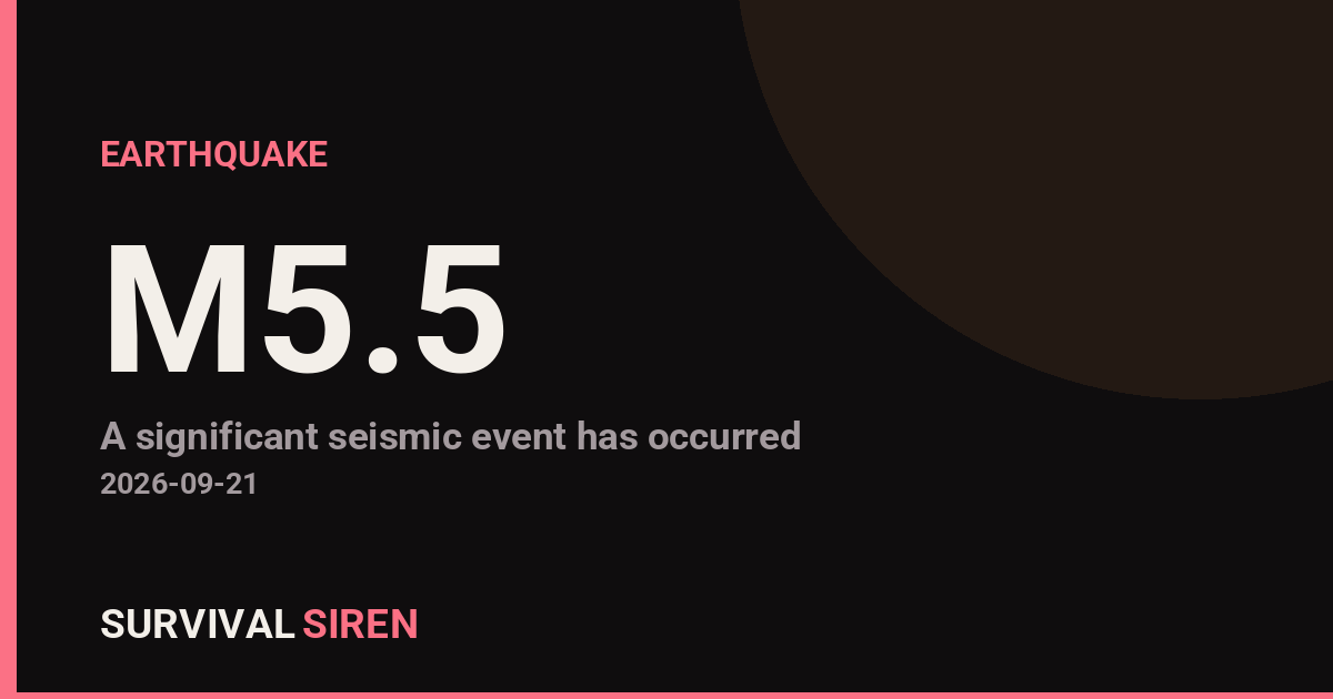
A magnitude 5.5 earthquake struck 35 kilometers north-northeast of Ruteng, on the island of Flores in Indonesia’s East Nusa Tenggara province, according to the U.S. Geological Survey. The quake occurred at a shallow depth of about 10 kilometers, which means shaking at the surface tends to be stronger than a deeper quake of the same size.
Residents in Ruteng and surrounding communities across central Flores would likely have felt several seconds of noticeable shaking — rattling windows, swaying light fixtures, and items shifting on shelves. In a quake of this magnitude and depth, light to moderate damage is possible close to the epicenter, particularly in older or unreinforced buildings, while well-built structures typically fare much better. At this time, specific damage or injury reports have not been detailed in the initial data.
Indonesia sits on the seismically active ‘Ring of Fire,’ where tectonic plates constantly grind against one another, so earthquakes of this size are relatively common in the region. Still, any shallow quake near populated areas deserves attention.
What to watch for
If you are in the affected area, expect aftershocks over the coming hours and days. These are usually smaller than the main quake but can occasionally rattle already-damaged buildings, so stay out of any structure with visible cracks or damage until it has been checked.
Given the epicenter’s location north of Ruteng near the Flores Sea coast, residents along the coast should stay aware of any official tsunami guidance from Indonesian authorities (BMKG), although a magnitude 5.5 quake is generally below the threshold for generating a significant tsunami.
Practical steps for anyone in the region: check on neighbors, especially the elderly; keep phones charged in case of power interruptions; secure heavy furniture; and keep a small bag with water, medications, and a flashlight handy in case a stronger aftershock follows.
This alert is based on preliminary data from the U.S. Geological Survey (USGS), with local assessments expected from Indonesia’s BMKG and disaster management agencies.
Frequently Asked Questions
Was the earthquake felt in Ruteng and nearby towns?
Yes — with a shallow depth of about 10 km and the epicenter only 35 km from Ruteng, residents there and across central Flores would likely have felt clear shaking, and weaker tremors may have been noticed farther across the island.
Is a tsunami possible from this quake?
A magnitude 5.5 earthquake is generally too small to generate a significant tsunami, and no tsunami threat has been indicated in the initial data. Coastal residents should still follow any guidance from Indonesia's BMKG, which monitors local tsunami risk.
Are aftershocks likely?
Yes, aftershocks are common after a quake of this size and can continue for hours to days. Most are smaller than the main event, but avoid buildings that show cracks or other visible damage.
How strong is a magnitude 5.5 earthquake?
It's considered a moderate earthquake — strong enough to be felt widely and potentially cause light damage near the epicenter, especially in older buildings, but usually not destructive to well-built structures.
Keep tracking this:
Source: USGS
Related Reading
- Global Seismic Stress Report: Southern Ocean Activity Rises While Six Segments Go Quiet
- Earthquake Survival: Precautions, Kit & Early Warning in 2026
- Analyzing Low-Radiation Nuclear Explosions: Tactical Assessments and Survival Strategies
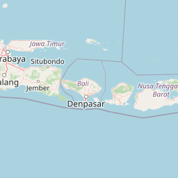
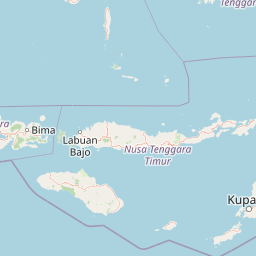
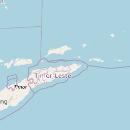


Map centered on the epicenter (-8.31, 120.58). Map data © OpenStreetMap contributors.
Sky & Solar Conditions at the Time
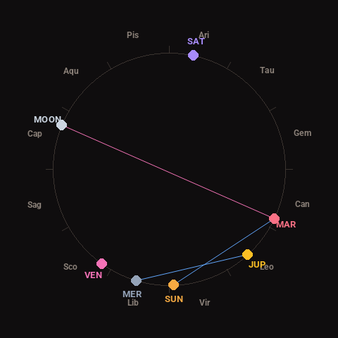
Moon: Waxing Gibbous (71% illuminated), in Capricorn.
Notable planetary angles: Mercury sextile Jupiter (59°), Sun sextile Mars (62°), Moon opposite Mars (177°).
Concurrent space weather: planetary Kp index 1.0; strongest recent solar flare: nothing notable.
This is a factual snapshot, not a claim of cause and effect – researchers are divided on whether lunar, planetary or solar factors influence seismic or weather activity. It’s included so readers can track the pattern for themselves over time.
Earthquakes Within ~400 km, Past 30 Days
For context, here is other recent seismic activity in the surrounding region (M2.5+, via USGS):
| Date & Time (UTC) | Magnitude | Location |
|---|---|---|
| 2026-09-19 13:56 UTC | M5.1 | 67 km NE of Ruteng, Indonesia |
| 2026-09-18 12:20 UTC | M4.7 | 34 km NNE of Ruteng, Indonesia |
| 2026-09-17 08:28 UTC | M4.5 | 78 km NW of Maumere, Indonesia |
| 2026-09-15 18:26 UTC | M4.3 | 45 km N of Ruteng, Indonesia |
| 2026-09-14 17:29 UTC | M4.0 | 189 km SSE of Baubau, Indonesia |
| 2026-09-14 00:53 UTC | M4.6 | 55 km NNW of Ruteng, Indonesia |
| 2026-09-13 22:40 UTC | M5.1 | 50 km N of Ruteng, Indonesia |
| 2026-09-12 03:34 UTC | M4.6 | 45 km NNE of Ruteng, Indonesia |
| 2026-09-10 08:41 UTC | M4.3 | 60 km ENE of Ruteng, Indonesia |
| 2026-09-09 11:12 UTC | M4.4 | 67 km N of Naisano Dua, Indonesia |
| 2026-09-08 21:42 UTC | M4.6 | 47 km N of Ruteng, Indonesia |
| 2026-09-08 15:36 UTC | M5.2 | 125 km NE of Ruteng, Indonesia |
| 2026-09-08 04:40 UTC | M5.3 | 51 km NNE of Ruteng, Indonesia |
| 2026-09-07 00:56 UTC | M4.1 | 75 km NE of Ruteng, Indonesia |
| 2026-09-06 11:15 UTC | M4.6 | 105 km NNW of Pante Makasar, Timor Leste |
| 2026-09-06 06:06 UTC | M4.4 | 36 km NNE of Labuan Bajo, Indonesia |
| 2026-09-05 12:35 UTC | M4.5 | 59 km NNE of Ruteng, Indonesia |
| 2026-09-04 23:17 UTC | M4.5 | 38 km NNE of Ruteng, Indonesia |
| 2026-09-03 21:00 UTC | M4.8 | 57 km N of Ende, Indonesia |
| 2026-09-03 16:04 UTC | M4.3 | 96 km NNE of Ruteng, Indonesia |
Emergency number for Indonesia: 112 (General guidance – always verify locally, as this can vary by region.)