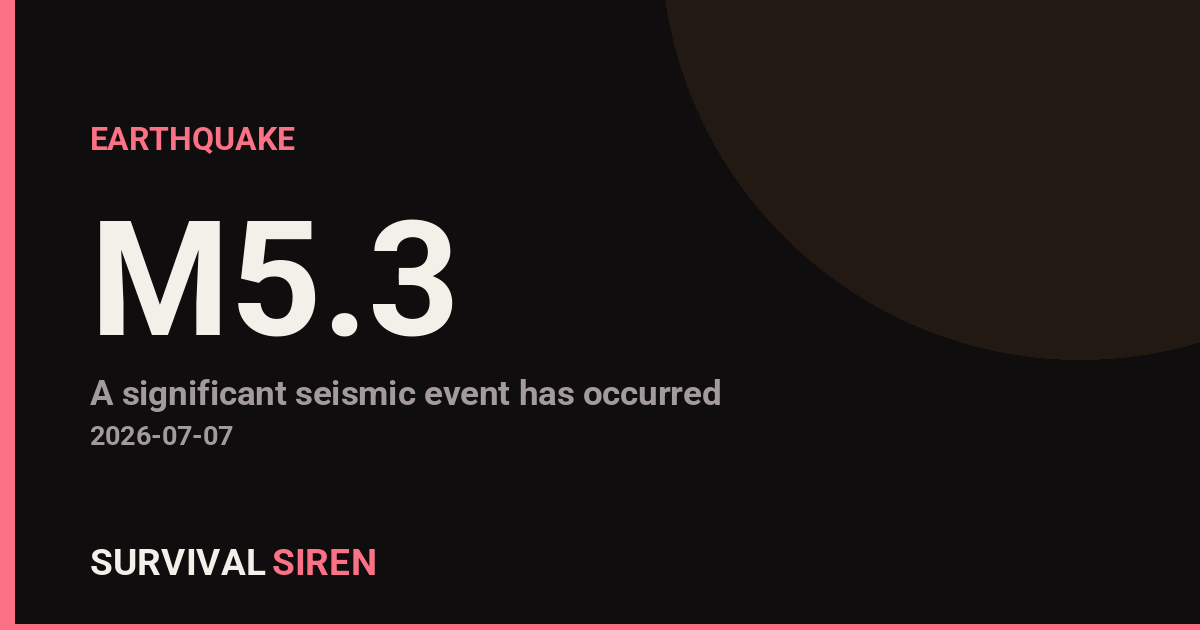
A magnitude 5.3 earthquake occurred approximately 95 kilometers west-southwest of Labuan, Indonesia at a depth of roughly 35 kilometers, according to the U.S. Geological Survey (USGS). The earthquake struck in the early morning hours local time and was felt across the surrounding region.
Magnitude 5.3 earthquakes are considered moderate and can cause noticeable shaking. Residents within 50-100 kilometers of the epicenter likely felt the tremor, ranging from light to moderate intensity. Some older buildings or poorly constructed structures in nearby populated areas may have experienced minor damage, though widespread destruction from a quake of this size is uncommon.
The primary areas of concern include Labuan and other settlements in Sabah, Malaysia, as well as nearby coastal communities in Indonesian Borneo. The depth of 35 kilometers suggests this was not a shallow coastal earthquake, which typically pose higher tsunami risks. No tsunami warning was issued for this event.
What to Monitor and Do
1. Check for aftershocks: Moderate earthquakes often trigger smaller follow-up quakes in the hours and days following the main event. If you’re in the region, remain alert and keep emergency supplies accessible.
2. Review your earthquake plan: Whether or not you’re in Indonesia, use this as a reminder to practice your household earthquake preparedness—knowing where to shelter, having a communication plan with family, and keeping a 72-hour emergency kit ready.
3. Stay informed through official channels: USGS and local Indonesian geological authorities provide the most accurate updates. Avoid relying on social media rumors about damage or aftershock predictions.
If you experienced this earthquake or live in the affected region, document any damage and follow guidance from local authorities. For readers in seismically active areas worldwide, earthquakes are a useful prompt to refresh your emergency preparedness checklist.
For real-time updates on geological and space weather events, visit our live dashboard at https://survivalsiren.com/spaceweather/feed.html—data sourced from NOAA and USGS.
Sky Conditions at the Time
Moon: Last Quarter (50% illuminated), in Aries.
Notable planetary angles: Sun square Moon (90°), Sun square Saturn (91°), Moon conjunct Saturn (2°).
This is a factual snapshot, not a claim of cause and effect – researchers are divided on whether lunar, planetary or solar factors influence seismic or weather activity. It’s included so readers can track the pattern for themselves over time.
Earthquakes Within ~400 km, Past 30 Days
For context, here is other recent seismic activity in the surrounding region (M2.5+, via USGS):
| Date & Time (UTC) | Magnitude | Location |
|---|---|---|
| 2026-07-19 08:11 UTC | M4.8 | 83 km S of Pelabuhanratu, Indonesia |
| 2026-07-18 08:21 UTC | M4.9 | 208 km SW of Bandar Lampung, Indonesia |
| 2026-07-10 22:59 UTC | M4.7 | 98 km WSW of Labuan, Indonesia |
| 2026-06-27 21:10 UTC | M5.0 | 86 km SW of Bandar Lampung, Indonesia |
| 2026-06-23 07:43 UTC | M4.5 | 154 km SSW of Pagar Alam, Indonesia |
| 2026-06-22 18:03 UTC | M4.8 | 90 km SW of Pagar Alam, Indonesia |
Emergency number for Indonesia: 112 (General guidance – always verify locally, as this can vary by region.)