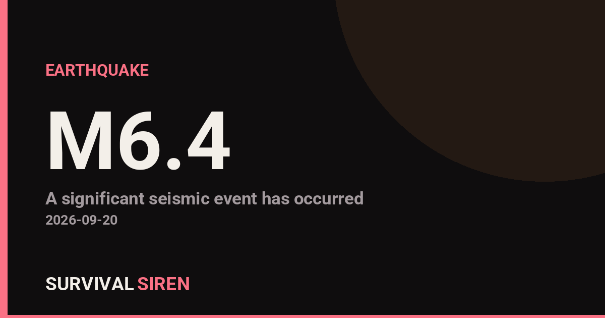
A magnitude 6.4 earthquake struck 49 kilometers north-northeast of Kainantu, in the Eastern Highlands of Papua New Guinea, according to the USGS. The quake occurred at a depth of roughly 104 kilometers, which classifies it as an intermediate-depth event.
Depth matters here. Earthquakes that originate more than 70 kilometers underground tend to spread their energy over a wider area but shake the surface less intensely than a shallow quake of the same size. That said, a magnitude 6.4 is still a strong event, and communities near the epicenter – including Kainantu and surrounding highland villages – may have felt strong, sustained shaking. Lighter shaking may have been noticed across a broader part of the region, possibly including Goroka and Lae.
The area most at risk is the rugged highlands terrain near the epicenter. Buildings of traditional or informal construction can be vulnerable to shaking of this size, and steep slopes raise the possibility of landslides, which are a common secondary hazard after highlands earthquakes. Roads and bridges in the area may also be affected, which can slow assessments and any needed response.
What to watch for
Aftershocks are expected after a quake of this size and can continue for days. Anyone in the affected region should treat damaged buildings as unsafe until checked, and be cautious on slopes, ridgelines, and roads where shaking may have loosened soil and rock. If you are in the area, have sturdy shoes, a flashlight, and a way to receive updates handy, and check on neighbors – especially those in older or informal housing. Because of the quake’s depth and inland location, a significant tsunami is not expected, but coastal residents should always follow guidance from local authorities if conditions change.
This report is based on data from the United States Geological Survey (USGS) earthquake monitoring program.
Frequently Asked Questions
Was the earthquake felt in nearby cities?
Shaking was likely felt strongly in Kainantu, about 49 km from the epicenter, and possibly more lightly in Goroka, Lae, and other highland and coastal communities. At 104 km deep, the shaking is spread over a wide area but is less intense at the surface than a shallow quake of the same size.
Is a tsunami possible from this earthquake?
A significant tsunami is not expected because the quake occurred inland at a depth of about 104 km, well away from the seafloor. Coastal residents should still follow any guidance issued by local authorities.
Are aftershocks likely?
Yes. Aftershocks are normal after a magnitude 6.4 earthquake and can continue for days, though they are usually smaller than the main quake. People near the epicenter should stay out of damaged buildings and be alert for falling debris during further shaking.
What is the biggest secondary risk in this region?
Landslides are a serious concern in the steep highlands terrain around Kainantu, where shaking can loosen slopes and block roads. Avoid traveling through slide-prone areas until conditions are assessed.
Keep tracking this:
Source: USGS
Related Reading
- Global Seismic Stress Report: Southern Ocean Activity Rises While Six Segments Go Quiet
- Earthquake Survival: Precautions, Kit & Early Warning in 2026
- Analyzing Low-Radiation Nuclear Explosions: Tactical Assessments and Survival Strategies
Reported Impact
3 people have reported feeling this quake to USGS’s “Did You Feel It?” system so far; the maximum reported shaking intensity is 4.3 on the Community Decimal Intensity scale; USGS’s automated PAGER system currently estimates a Green alert level (minimal expected casualties or damage).
Impact figures are from USGS as of when this alert was generated and can rise as more reports come in – this is not a final damage assessment.
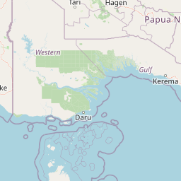
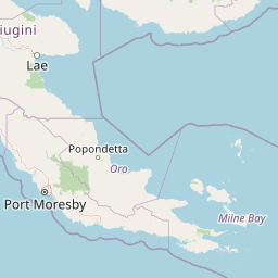

Map centered on the epicenter (-5.90, 146.09). Map data © OpenStreetMap contributors.
Sky & Solar Conditions at the Time
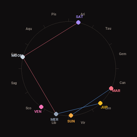
Moon: First Quarter (65% illuminated), in Capricorn.
Notable planetary angles: Moon square Mercury (89°), Moon square Saturn (88°), Sun sextile Mars (62°), Mercury sextile Jupiter (58°).
Concurrent space weather: planetary Kp index 2.0; strongest recent solar flare: nothing notable.
This is a factual snapshot, not a claim of cause and effect – researchers are divided on whether lunar, planetary or solar factors influence seismic or weather activity. It’s included so readers can track the pattern for themselves over time.
Earthquakes Within ~400 km, Past 30 Days
For context, here is other recent seismic activity in the surrounding region (M2.5+, via USGS):
| Date & Time (UTC) | Magnitude | Location |
|---|---|---|
| 2026-09-16 19:37 UTC | M4.6 | 43 km SE of Madang, Papua New Guinea |
| 2026-09-14 22:06 UTC | M5.0 | 69 km NW of Lae, Papua New Guinea |
| 2026-09-14 06:19 UTC | M4.5 | 97 km NNE of Mount Hagen, Papua New Guinea |
| 2026-09-02 20:04 UTC | M5.4 | 51 km W of Bulolo, Papua New Guinea |
| 2026-08-25 20:50 UTC | M4.1 | 57 km S of Kandrian, Papua New Guinea |
| 2026-08-24 07:52 UTC | M4.4 | 139 km NNW of Finschhafen, Papua New Guinea |
| 2026-08-23 10:44 UTC | M4.3 | 64 km NNW of Lae, Papua New Guinea |
Emergency number for Papua New Guinea: 112 (General guidance – always verify locally, as this can vary by region.)