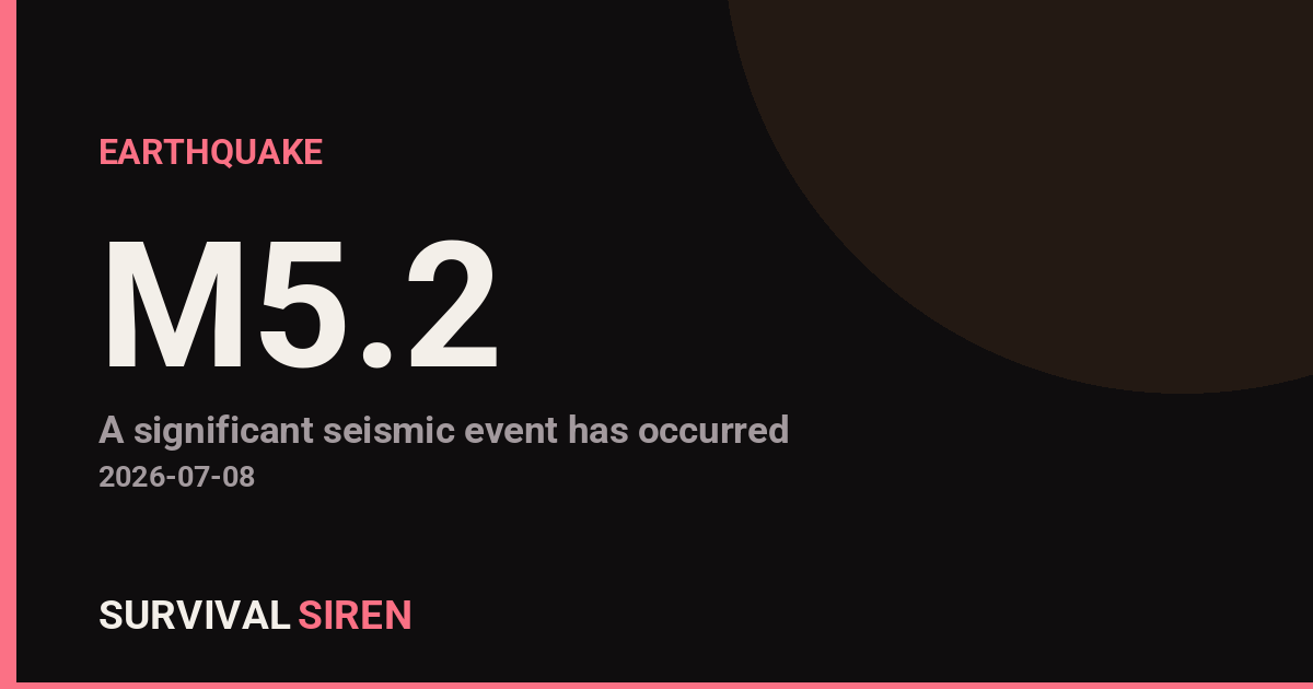
A magnitude 5.2 earthquake occurred approximately 109 kilometers southwest of Isangel, Vanuatu, at a shallow depth of 10 kilometers, according to the U.S. Geological Survey. The event was centered in a seismically active region of the South Pacific.
At this magnitude and depth, shaking would likely be felt across surrounding areas of Vanuatu and potentially in nearby island communities. Residents in the immediate region may have experienced moderate shaking, though significant damage from an event of this size is not typically expected in well-constructed areas.
Vanuatu sits along the Pacific Ring of Fire, where tectonic plates are highly active. Earthquakes of magnitude 5+ occur regularly in this zone, making it one of the world’s most seismically dynamic regions.
What to Watch
1. Local emergency updates: If you have connections to Vanuatu or the South Pacific, monitor official government and regional emergency management channels for any impact assessments or advisories.
2. Aftershock activity: Moderate earthquakes often trigger smaller aftershocks in the hours and days following. These typically pose minimal additional risk but are worth tracking if you’re monitoring the region.
3. Broader seismic patterns: While individual earthquakes are normal, keeping awareness of increased activity in known zones helps maintain general preparedness. If you live in a seismic region yourself, this is a good reminder to review your own emergency kit and family communication plan.
For those outside the immediate impact zone, this serves as a routine reminder of Earth’s active geology. Earthquake preparedness—securing heavy furniture, identifying safe spots in your home, and maintaining emergency supplies—remains valuable regardless of your location’s seismic risk level.
Real-time earthquake and space weather data is available from NOAA and the USGS. Visit https://survivalsiren.com/spaceweather/feed.html for live monitoring updates.
Sky Conditions at the Time
Moon: Last Quarter (42% illuminated), in Aries.
Notable planetary angles: Moon square Mercury (88°), Sun square Saturn (92°), Moon trine Venus (123°).
This is a factual snapshot, not a claim of cause and effect – researchers are divided on whether lunar, planetary or solar factors influence seismic or weather activity. It’s included so readers can track the pattern for themselves over time.
Earthquakes Within ~400 km, Past 30 Days
For context, here is other recent seismic activity in the surrounding region (M2.5+, via USGS):
| Date & Time (UTC) | Magnitude | Location |
|---|---|---|
| 2026-07-14 01:27 UTC | M4.9 | southeast of the Loyalty Islands |
| 2026-07-13 16:31 UTC | M5.1 | southeast of the Loyalty Islands |
| 2026-07-13 14:45 UTC | M6.3 | southeast of the Loyalty Islands |
| 2026-07-11 12:48 UTC | M4.6 | 152 km SSW of Lakatoro, Vanuatu |
| 2026-07-10 13:55 UTC | M4.5 | 115 km SSW of Isangel, Vanuatu |
| 2026-07-10 07:45 UTC | M4.6 | 122 km SW of Isangel, Vanuatu |
| 2026-07-10 02:41 UTC | M4.7 | 256 km E of Tadine, New Caledonia |
| 2026-07-10 02:34 UTC | M4.5 | 241 km ESE of Tadine, New Caledonia |
| 2026-07-09 16:01 UTC | M4.6 | 128 km SW of Isangel, Vanuatu |
| 2026-07-09 14:40 UTC | M4.6 | 112 km SSW of Isangel, Vanuatu |
| 2026-07-08 14:36 UTC | M4.2 | 97 km SSW of Isangel, Vanuatu |
| 2026-07-08 09:50 UTC | M5.8 | 91 km SSW of Isangel, Vanuatu |
| 2026-07-06 20:56 UTC | M4.5 | 101 km SSW of Isangel, Vanuatu |
| 2026-07-06 20:51 UTC | M4.6 | 89 km SSW of Isangel, Vanuatu |
| 2026-07-03 23:59 UTC | M4.6 | 27 km SE of Port-Vila, Vanuatu |
| 2026-07-01 06:23 UTC | M4.9 | southeast of the Loyalty Islands |
| 2026-06-26 17:09 UTC | M4.6 | 165 km SW of Port-Vila, Vanuatu |
| 2026-06-23 15:13 UTC | M4.6 | 216 km ESE of Tadine, New Caledonia |
| 2026-06-23 13:58 UTC | M5.3 | 120 km S of Isangel, Vanuatu |
Emergency number for Vanuatu: 112 (General guidance – always verify locally, as this can vary by region.)