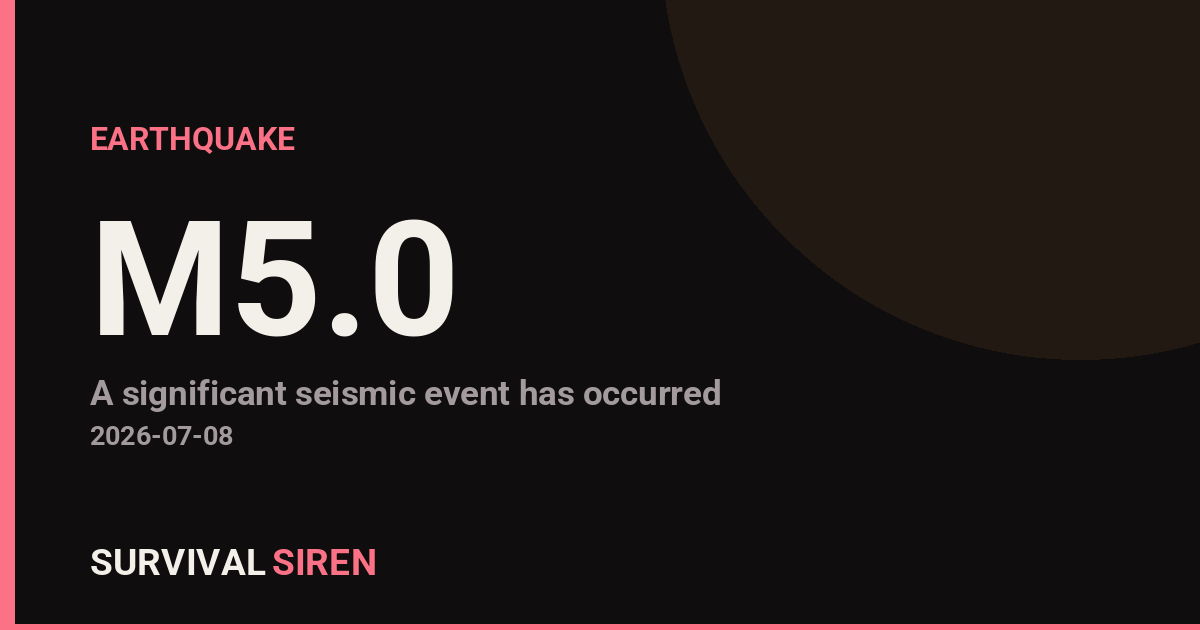
A magnitude 5.0 earthquake occurred approximately 110 kilometers southeast of Kimbe, Papua New Guinea at a depth of roughly 26 kilometers, according to the U.S. Geological Survey (USGS). The moderate-strength quake struck in a seismically active region of the South Pacific.
At this magnitude and depth, shaking would likely be felt across the immediate surrounding area, particularly in communities closer to the epicenter. A magnitude 5.0 can cause light to moderate damage to buildings in populated areas, though the remote location of this quake means fewer people may be directly affected compared to similar events near major cities.
What to Watch For
Aftershocks: Following a magnitude 5.0 event, smaller aftershocks in the magnitude 2-4 range are common over the coming hours and days. Local residents and those in nearby regions should remain alert for additional seismic activity.
Coastal areas: While no tsunami warning has been issued for this particular event, it’s worth monitoring official channels. The Pacific Tsunami Warning Center tracks significant earthquakes in the region and issues alerts if coastal hazards develop.
Structural assessment: If you live or work in the affected region, a visual inspection of buildings, bridges, and infrastructure is sensible after any moderate earthquake. Report damage to local authorities so response efforts can be coordinated effectively.
Papua New Guinea sits along the Pacific Ring of Fire, one of Earth’s most seismically active zones. Residents in this region are generally well-acquainted with earthquake preparedness, but it remains important for all communities in active zones to maintain emergency kits, practice drop-cover-hold-on techniques, and know evacuation routes.
For real-time updates on earthquakes and other natural hazards affecting your area, monitor official USGS and local geological survey websites.
Sky Conditions at the Time
Moon: Last Quarter (42% illuminated), in Aries.
Notable planetary angles: Moon square Mercury (88°), Sun square Saturn (92°), Moon trine Venus (124°).
This is a factual snapshot, not a claim of cause and effect – researchers are divided on whether lunar, planetary or solar factors influence seismic or weather activity. It’s included so readers can track the pattern for themselves over time.
Earthquakes Within ~400 km, Past 30 Days
For context, here is other recent seismic activity in the surrounding region (M2.5+, via USGS):
| Date & Time (UTC) | Magnitude | Location |
|---|---|---|
| 2026-07-17 16:22 UTC | M4.7 | 161 km ESE of Kokopo, Papua New Guinea |
| 2026-07-16 17:46 UTC | M4.6 | 109 km ESE of Kokopo, Papua New Guinea |
| 2026-07-05 17:52 UTC | M4.3 | 155 km SE of Kandrian, Papua New Guinea |
| 2026-07-05 15:11 UTC | M4.2 | 160 km WNW of Panguna, Papua New Guinea |
| 2026-07-05 06:58 UTC | M4.1 | 127 km NW of Kimbe, Papua New Guinea |
| 2026-06-30 14:41 UTC | M5.4 | 90 km ESE of Kimbe, Papua New Guinea |
| 2026-06-30 00:32 UTC | M4.8 | 155 km S of Kokopo, Papua New Guinea |
| 2026-06-28 18:45 UTC | M4.7 | 40 km SW of Kandrian, Papua New Guinea |
| 2026-06-28 02:59 UTC | M5.1 | 21 km NW of Finschhafen, Papua New Guinea |
| 2026-06-27 11:58 UTC | M4.5 | 62 km SW of Kandrian, Papua New Guinea |
| 2026-06-25 06:19 UTC | M5.5 | 73 km E of Kokopo, Papua New Guinea |
| 2026-06-23 19:27 UTC | M4.5 | 51 km WSW of Kandrian, Papua New Guinea |
| 2026-06-22 10:58 UTC | M4.6 | 64 km E of Kimbe, Papua New Guinea |
Emergency number for Papua New Guinea: 112 (General guidance – always verify locally, as this can vary by region.)