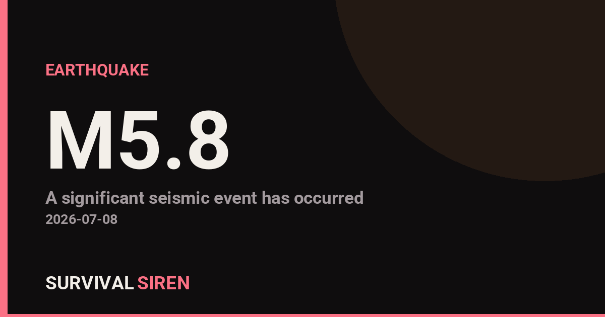
A magnitude 5.8 earthquake occurred approximately 91 kilometers south-southwest of Isangel, Vanuatu, at a shallow depth of 10 kilometers, according to the U.S. Geological Survey. The moderate-strength quake struck in the South Pacific region, an area of frequent seismic activity due to its location along the Pacific Ring of Fire.
Residents in surrounding areas of Vanuatu and neighboring island communities likely felt noticeable shaking. A magnitude 5.8 earthquake typically causes moderate damage to poorly constructed buildings and can be felt strongly by people indoors and outdoors within a 50-100 kilometer radius. The shallow depth amplifies the intensity of shaking at the surface.
Who This Affects
The primary impact zone includes Vanuatu and nearby Pacific island nations. Communities closest to Isangel—located on the island of Tanna—would have experienced the strongest shaking. Local authorities monitor for aftershocks and potential landslides, particularly in mountainous terrain.
Practical Watch Items
1. Aftershock Monitoring: Moderate earthquakes often trigger smaller follow-up quakes over the following hours and days. Residents should remain alert and review their earthquake safety procedures (drop, cover, hold on).
2. Infrastructure Check: If you live in or near affected areas, inspect your home for new cracks in walls or damage to utilities. Report significant damage to local authorities to aid emergency response coordination.
3. Stay Informed: Monitor official USGS and local Vanuatu meteorology updates for revised magnitude assessments and any tsunami warnings (though this magnitude typically does not generate significant ocean waves).
Vanuatu sits on one of Earth’s most geologically active regions, making earthquake preparedness a routine part of life there. Those in the region should ensure emergency kits are accessible and family communication plans are in place.
Real-time earthquake and space weather data is available from NOAA at https://survivalsiren.com/spaceweather/feed.html.
Sky Conditions at the Time
Moon: Last Quarter (43% illuminated), in Aries.
Notable planetary angles: Moon square Mercury (89°), Sun square Saturn (92°).
This is a factual snapshot, not a claim of cause and effect – researchers are divided on whether lunar, planetary or solar factors influence seismic or weather activity. It’s included so readers can track the pattern for themselves over time.
Earthquakes Within ~400 km, Past 30 Days
For context, here is other recent seismic activity in the surrounding region (M2.5+, via USGS):
| Date & Time (UTC) | Magnitude | Location |
|---|---|---|
| 2026-07-14 01:27 UTC | M4.9 | southeast of the Loyalty Islands |
| 2026-07-13 17:15 UTC | M4.5 | southeast of the Loyalty Islands |
| 2026-07-13 16:31 UTC | M5.1 | southeast of the Loyalty Islands |
| 2026-07-13 14:45 UTC | M6.3 | southeast of the Loyalty Islands |
| 2026-07-13 07:59 UTC | M4.9 | southeast of the Loyalty Islands |
| 2026-07-11 12:48 UTC | M4.6 | 152 km SSW of Lakatoro, Vanuatu |
| 2026-07-10 13:55 UTC | M4.5 | 115 km SSW of Isangel, Vanuatu |
| 2026-07-10 07:45 UTC | M4.6 | 122 km SW of Isangel, Vanuatu |
| 2026-07-10 02:41 UTC | M4.7 | 256 km E of Tadine, New Caledonia |
| 2026-07-10 02:34 UTC | M4.5 | 241 km ESE of Tadine, New Caledonia |
| 2026-07-09 16:01 UTC | M4.6 | 128 km SW of Isangel, Vanuatu |
| 2026-07-09 14:40 UTC | M4.6 | 112 km SSW of Isangel, Vanuatu |
| 2026-07-08 14:36 UTC | M4.2 | 97 km SSW of Isangel, Vanuatu |
| 2026-07-08 11:42 UTC | M5.2 | 109 km SW of Isangel, Vanuatu |
| 2026-07-06 20:56 UTC | M4.5 | 101 km SSW of Isangel, Vanuatu |
| 2026-07-06 20:51 UTC | M4.6 | 89 km SSW of Isangel, Vanuatu |
| 2026-07-03 23:59 UTC | M4.6 | 27 km SE of Port-Vila, Vanuatu |
| 2026-07-01 06:23 UTC | M4.9 | southeast of the Loyalty Islands |
| 2026-06-26 17:09 UTC | M4.6 | 165 km SW of Port-Vila, Vanuatu |
| 2026-06-23 15:13 UTC | M4.6 | 216 km ESE of Tadine, New Caledonia |
Emergency number for Vanuatu: 112 (General guidance – always verify locally, as this can vary by region.)