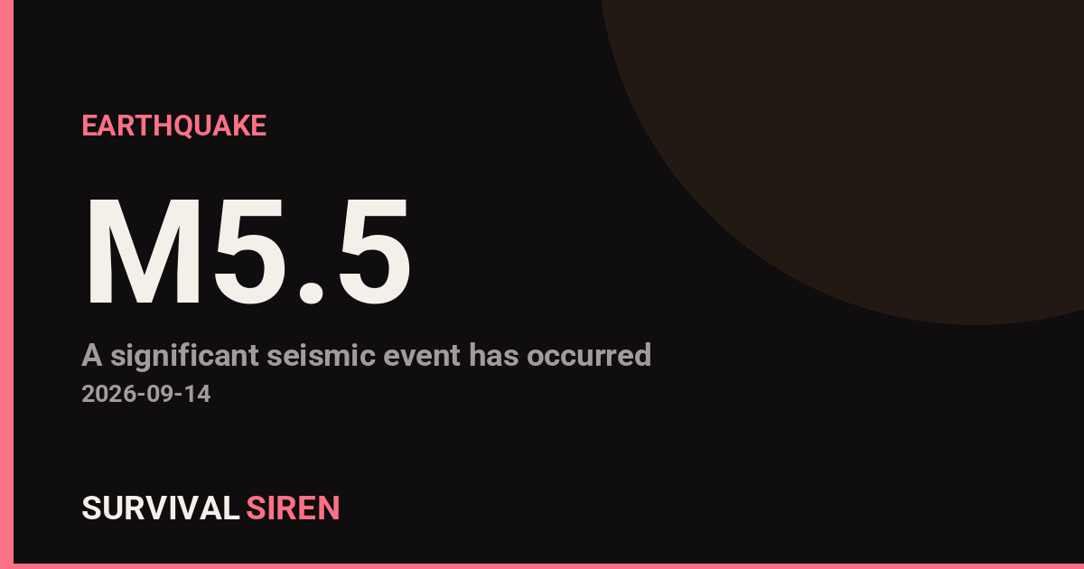
A magnitude 5.5 earthquake struck in the Indian Ocean today, roughly 187 kilometers (about 116 miles) south-southwest of Pelabuhanratu, a coastal town on the southern shore of West Java, Indonesia. The quake occurred at a shallow depth of around 10 kilometers, according to the U.S. Geological Survey.
Because the epicenter was well offshore, shaking on land would generally have been light to moderate. Residents in coastal areas of southern West Java — including Pelabuhanratu and surrounding communities — may have felt a brief rumbling or swaying sensation. People farther inland, including in parts of the greater Jakarta region, may have noticed weak shaking or nothing at all. At this magnitude and distance from shore, significant structural damage is not expected, though minor items falling from shelves are possible in areas closest to the epicenter.
Indonesia sits on the seismically active ‘Ring of Fire,’ where tectonic plates meet and earthquakes of this size are relatively common. This event is a normal expression of that ongoing activity, not a sign of anything unusual.
What to keep in mind
If you felt shaking, take a quick look around your home for cracked walls, damaged gas lines, or unstable furniture — and secure anything that shifted. Aftershocks are possible after a quake of this size, though they are typically smaller. Finally, remember the basic rule: if shaking starts, drop to the ground, take cover under sturdy furniture, and hold on until it stops. Coastal residents should always know their quickest route to higher ground as a general habit, even though a tsunami is not expected from an event of this magnitude.
This alert is based on earthquake data reported by the U.S. Geological Survey (USGS).
Frequently Asked Questions
Was the earthquake felt in Jakarta or other cities?
The epicenter was about 187 km offshore from Pelabuhanratu in West Java, so light shaking may have been noticed along the southern coast. In Jakarta, farther to the north, most people likely felt weak shaking or nothing at all.
Is a tsunami possible from this earthquake?
A magnitude 5.5 quake is generally too small to generate a dangerous tsunami, and no tsunami threat has been associated with this event. Significant tsunami risk usually requires a much larger earthquake, typically magnitude 7.0 or greater.
Are aftershocks likely?
Yes, smaller aftershocks are common after a magnitude 5.5 earthquake, especially given its shallow depth. Most would be weaker than the main quake and many may occur offshore where they go unnoticed.
Should I be worried about damage?
Widespread damage is unlikely at this magnitude and distance from shore. If you were in the closest coastal areas, a quick check of your home for cracks or shifted items is a sensible precaution.
Keep tracking this:
Source: USGS
Related Reading
- Global Seismic Stress Report: Southern Ocean Activity Rises While Six Segments Go Quiet
- Earthquake Survival: Precautions, Kit & Early Warning in 2026
- Analyzing Low-Radiation Nuclear Explosions: Tactical Assessments and Survival Strategies
Reported Impact
1 person has reported feeling this quake to USGS’s “Did You Feel It?” system so far; the maximum reported shaking intensity is 2.0 on the Community Decimal Intensity scale; USGS’s automated PAGER system currently estimates a Green alert level (minimal expected casualties or damage).
Impact figures are from USGS as of when this alert was generated and can rise as more reports come in – this is not a final damage assessment.
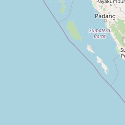
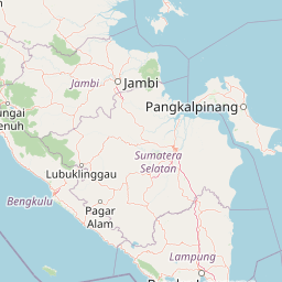
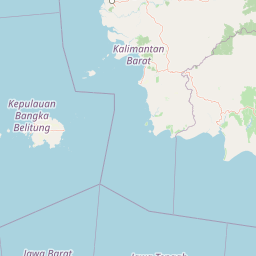

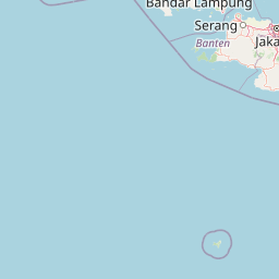
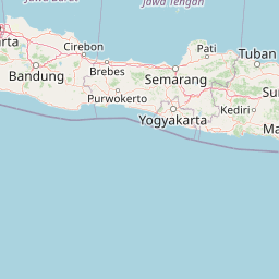



Map centered on the epicenter (-8.54, 105.87). Map data © OpenStreetMap contributors.
Sky & Solar Conditions at the Time
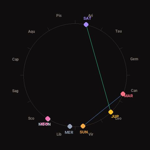
Moon: Waxing Crescent (12% illuminated), in Scorpio.
Notable planetary angles: Sun sextile Mars (60°), Moon conjunct Venus (1°), Jupiter trine Saturn (124°).
Concurrent space weather: planetary Kp index 1.3; strongest recent solar flare: nothing notable.
This is a factual snapshot, not a claim of cause and effect – researchers are divided on whether lunar, planetary or solar factors influence seismic or weather activity. It’s included so readers can track the pattern for themselves over time.
Earthquakes Within ~400 km, Past 30 Days
For context, here is other recent seismic activity in the surrounding region (M2.5+, via USGS):
| Date & Time (UTC) | Magnitude | Location |
|---|---|---|
| 2026-09-04 05:04 UTC | M5.2 | 28 km S of Cilacap, Indonesia |
| 2026-08-26 13:43 UTC | M4.2 | 93 km SSW of Singaparna, Indonesia |
| 2026-08-23 23:29 UTC | M4.1 | 97 km SSW of Singaparna, Indonesia |
| 2026-08-22 02:57 UTC | M4.4 | 221 km SW of Bandar Lampung, Indonesia |
| 2026-08-21 18:40 UTC | M4.2 | 202 km SW of Labuan, Indonesia |
| 2026-08-21 17:41 UTC | M5.8 | 187 km SW of Labuan, Indonesia |
| 2026-08-20 14:31 UTC | M4.4 | 85 km SSW of Singaparna, Indonesia |
| 2026-08-19 12:19 UTC | M4.4 | 29 km NNW of Sepatan, Indonesia |
Emergency number for Indonesia: 112 (General guidance – always verify locally, as this can vary by region.)