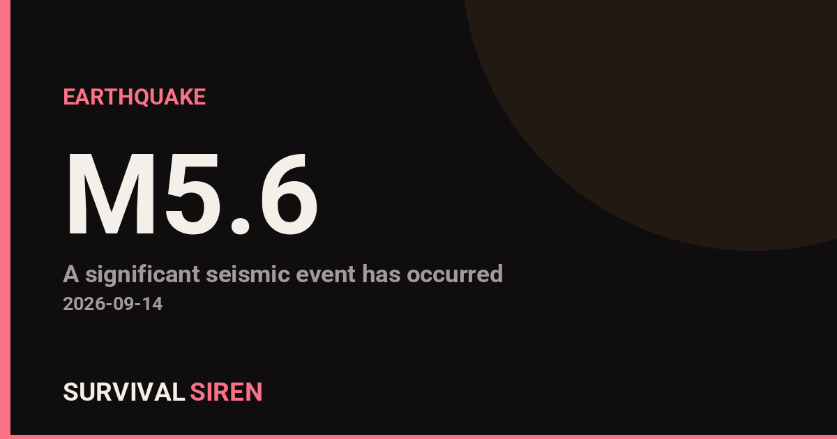
A magnitude 5.6 earthquake struck about 78 kilometers north-northeast of Tobelo, in Indonesia’s North Maluku province, according to the U.S. Geological Survey. The quake occurred at a depth of roughly 162 kilometers, which classifies it as a deep earthquake.
That depth matters. Deep earthquakes like this one tend to spread their energy over a wide area rather than concentrating it near the surface. Shaking was likely felt across parts of North Maluku and possibly into neighboring areas, but deep quakes generally cause less surface damage than shallow quakes of the same magnitude. At magnitude 5.6 and this depth, significant structural damage is unlikely, though items may have been knocked off shelves and light fixtures may have swayed.
Who may be affected
People in and around Tobelo and across the islands of North Maluku were the most likely to notice the shaking. Because the epicenter is offshore to the north-northeast, coastal and island communities in the region may have felt moderate but brief tremors. At this depth and magnitude, a damaging tsunami is not expected — tsunamis are typically generated by shallow, powerful quakes that displace the seafloor.
What to watch for
Aftershocks: Some aftershocks are possible in the coming hours and days, though deep earthquakes usually produce fewer and weaker aftershocks than shallow ones. If you feel another tremor, drop, cover, and hold on.
Check your home: Even in areas with light shaking, it’s sensible to look for cracked walls, damaged gas lines, or shifted heavy furniture before resuming normal activity.
Stay informed locally: Follow guidance from Indonesian authorities, including BMKG (Indonesia’s meteorology, climatology, and geophysics agency), for any regional updates or advisories.
Preparedness tip: if you live in an earthquake-prone region like Indonesia, keep sturdy shoes and a flashlight near your bed, secure tall furniture to walls, and make sure your household knows where to take cover. Deep earthquakes like this one are common in eastern Indonesia, where tectonic plates are actively sliding beneath one another.
Data for this alert comes from the U.S. Geological Survey (USGS), which monitors earthquakes worldwide.
Frequently Asked Questions
Was the earthquake felt in Tobelo and nearby cities?
Yes — at magnitude 5.6, shaking was likely felt in Tobelo and across North Maluku, though the 162 km depth means it was probably moderate rather than severe.
Is a tsunami possible from this earthquake?
A damaging tsunami is very unlikely. Tsunamis are usually caused by shallow, large-magnitude quakes that move the seafloor, and this quake occurred deep underground at about 162 km.
Will there be aftershocks?
Some aftershocks are possible in the coming days, but deep earthquakes typically produce fewer and weaker aftershocks than shallow ones.
Should people in the area expect damage?
Significant damage is unlikely at this depth and magnitude, but it's wise to check buildings for cracks and secure any items that may have shifted during the shaking.
Keep tracking this:
Source: USGS
Related Reading
- Global Seismic Stress Report: Southern Ocean Activity Rises While Six Segments Go Quiet
- Earthquake Survival: Precautions, Kit & Early Warning in 2026
- Analyzing Low-Radiation Nuclear Explosions: Tactical Assessments and Survival Strategies
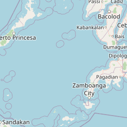
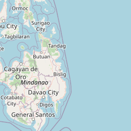
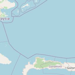
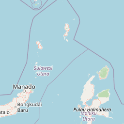
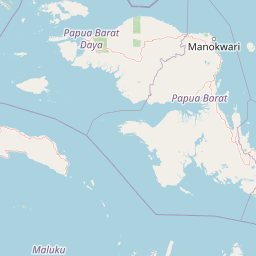
Map centered on the epicenter (2.42, 128.17). Map data © OpenStreetMap contributors.
Sky & Solar Conditions at the Time
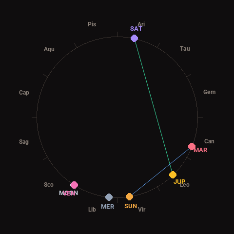
Moon: Waxing Crescent (12% illuminated), in Scorpio.
Notable planetary angles: Moon conjunct Venus (0°), Sun sextile Mars (60°), Jupiter trine Saturn (124°).
Concurrent space weather: planetary Kp index 1.3; strongest recent solar flare: nothing notable.
This is a factual snapshot, not a claim of cause and effect – researchers are divided on whether lunar, planetary or solar factors influence seismic or weather activity. It’s included so readers can track the pattern for themselves over time.
Earthquakes Within ~400 km, Past 30 Days
For context, here is other recent seismic activity in the surrounding region (M2.5+, via USGS):
| Date & Time (UTC) | Magnitude | Location |
|---|---|---|
| 2026-09-12 05:08 UTC | M4.7 | 94 km WNW of Ternate, Indonesia |
| 2026-09-09 07:07 UTC | M5.0 | 154 km S of Sarangani, Philippines |
| 2026-09-07 13:33 UTC | M4.3 | 79 km NE of Tobelo, Indonesia |
| 2026-09-05 22:33 UTC | M4.1 | 165 km N of Tobelo, Indonesia |
| 2026-09-03 14:15 UTC | M4.4 | 106 km NNE of Tobelo, Indonesia |
| 2026-09-03 14:05 UTC | M4.2 | 128 km SE of Pondaguitan, Philippines |
| 2026-09-01 08:22 UTC | M5.6 | 82 km SE of Maba, Indonesia |
| 2026-08-30 05:17 UTC | M4.4 | 82 km NE of Tobelo, Indonesia |
| 2026-08-30 04:29 UTC | M4.7 | 130 km WNW of Ternate, Indonesia |
| 2026-08-29 16:42 UTC | M4.3 | 142 km NW of Ternate, Indonesia |
| 2026-08-29 08:08 UTC | M5.0 | 64 km W of Labuha, Indonesia |
| 2026-08-28 00:43 UTC | M4.6 | 119 km NNW of Ternate, Indonesia |
| 2026-08-26 15:58 UTC | M4.4 | 85 km SSE of Sarangani, Philippines |
| 2026-08-25 19:15 UTC | M4.4 | 161 km SE of Sarangani, Philippines |
| 2026-08-21 02:12 UTC | M4.1 | 127 km NE of Tobelo, Indonesia |
| 2026-08-17 13:26 UTC | M4.4 | 94 km ESE of Sarangani, Philippines |
| 2026-08-15 22:10 UTC | M4.4 | 69 km ESE of Sarangani, Philippines |
Emergency number for Indonesia: 112 (General guidance – always verify locally, as this can vary by region.)