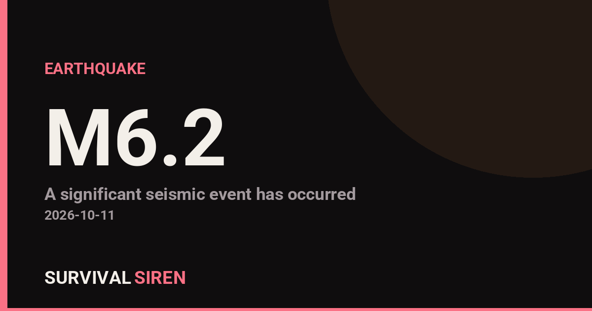
A magnitude 6.2 earthquake struck 79 kilometers south-southeast of Panguna, Papua New Guinea, at a depth of about 53 kilometers, according to the USGS. The quake occurred in the seismically active Bougainville region, where the Pacific and Australian tectonic plates meet, making this one of the most earthquake-prone areas on Earth.
Shaking at this magnitude and depth can be strong near the epicenter and is often felt across a wide area. Moderate-to-strong shaking was likely felt on Bougainville Island, including around Panguna and the town of Arawa. The nearest major population center, Honiara in the Solomon Islands, sits roughly 540 kilometers away and is home to about 90,000 people; lighter shaking may have been noticed there, but significant damage at that distance is unlikely. The greatest risk of damage is to older or lightly built structures close to the epicenter.
This is not an isolated event. The USGS notes this is at least the 14th magnitude 5.0 or stronger earthquake recorded within roughly 300 kilometers of this location in the past year. That level of ongoing activity is normal for this region, but it also means residents should stay prepared for further shaking.
Because the quake occurred offshore at a moderate depth, a tsunami threat is a possibility people in coastal areas will want clarified by official sources. Depths around 53 kilometers generally reduce tsunami risk compared to very shallow quakes, but local authorities make the final call.
What to Watch and Do
Expect aftershocks. Quakes of magnitude 5 and above commonly follow a magnitude 6.2 event, sometimes for days. Move away from damaged buildings and heavy objects that could fall.
Check official tsunami guidance. If you are on the coast of Bougainville or nearby islands and felt strong or long shaking, move to higher ground until authorities confirm there is no threat.
Secure your household. Check for gas leaks, damaged wiring, and cracked walls before re-entering buildings, and keep a basic supply of water and a flashlight handy.
Data for this alert comes from the U.S. Geological Survey (USGS) earthquake monitoring network.
Frequently Asked Questions
Was this earthquake felt in Honiara or other cities?
Strong shaking was most likely near the epicenter around Panguna and Arawa on Bougainville Island. Honiara, about 540 km away, may have felt light shaking, but damage there is very unlikely.
Is a tsunami possible from this quake?
The quake occurred offshore, so a local tsunami cannot be ruled out, though its 53 km depth lowers the risk compared to shallow quakes. Coastal residents should follow guidance from local authorities and move to higher ground if shaking was strong or prolonged.
Are aftershocks likely?
Yes. Aftershocks commonly follow magnitude 6 earthquakes and can continue for days or weeks. This region has already seen at least 14 magnitude 5.0+ quakes in the past year, so further shaking should be expected.
Could this earthquake cause serious damage?
Damage is possible to vulnerable or poorly built structures close to the epicenter. The relatively sparse population near the epicenter and the quake's moderate depth help limit the overall impact.
Keep tracking this:
Source: USGS
Related Reading
- Global Seismic Stress Report: Southern Ocean Activity Rises While Six Segments Go Quiet
- Earthquake Survival: Precautions, Kit & Early Warning in 2026
- Analyzing Low-Radiation Nuclear Explosions: Tactical Assessments and Survival Strategies
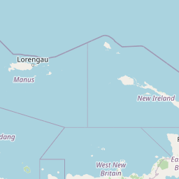
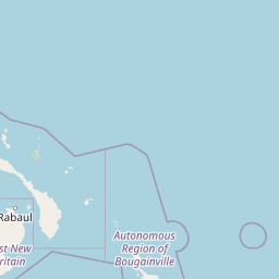

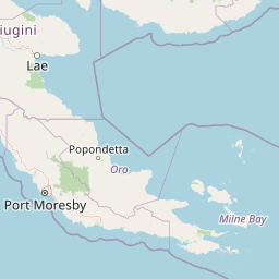
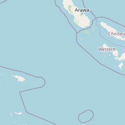
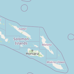

Map centered on the epicenter (-7.01, 155.70). Map data © OpenStreetMap contributors.
Sky & Solar Conditions at the Time
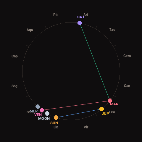
Moon: New Moon (1% illuminated), in Libra.
Notable planetary angles: Venus square Mars (89°), Mars trine Saturn (117°), Sun sextile Jupiter (57°).
Concurrent space weather: planetary Kp index 3.0; strongest recent solar flare: nothing notable.
This is a factual snapshot, not a claim of cause and effect – researchers are divided on whether lunar, planetary or solar factors influence seismic or weather activity. It’s included so readers can track the pattern for themselves over time.
Earthquakes Within ~400 km, Past 30 Days
For context, here is other recent seismic activity in the surrounding region (M2.5+, via USGS):
| Date & Time (UTC) | Magnitude | Location |
|---|---|---|
| 2026-10-05 22:48 UTC | M4.8 | 146 km WNW of Panguna, Papua New Guinea |
| 2026-10-02 11:14 UTC | M5.0 | 63 km SW of Panguna, Papua New Guinea |
| 2026-10-02 04:44 UTC | M5.1 | 159 km SE of Gizo, Solomon Islands |
| 2026-10-02 04:10 UTC | M4.9 | 97 km S of Panguna, Papua New Guinea |
| 2026-09-27 22:47 UTC | M4.8 | 117 km SSE of Panguna, Papua New Guinea |
| 2026-09-27 04:59 UTC | M4.9 | 159 km ESE of Gizo, Solomon Islands |
| 2026-09-15 11:34 UTC | M4.7 | 116 km S of Panguna, Papua New Guinea |
| 2026-09-15 10:20 UTC | M4.7 | 105 km S of Panguna, Papua New Guinea |
| 2026-09-14 16:15 UTC | M5.1 | 147 km SE of Gizo, Solomon Islands |
| 2026-09-12 16:01 UTC | M4.3 | 126 km WNW of Panguna, Papua New Guinea |
| 2026-09-12 14:32 UTC | M4.4 | 108 km NW of Arawa, Papua New Guinea |
| 2026-09-12 12:46 UTC | M4.6 | 143 km SE of Kokopo, Papua New Guinea |
Emergency number for Papua New Guinea: 112 (General guidance – always verify locally, as this can vary by region.)