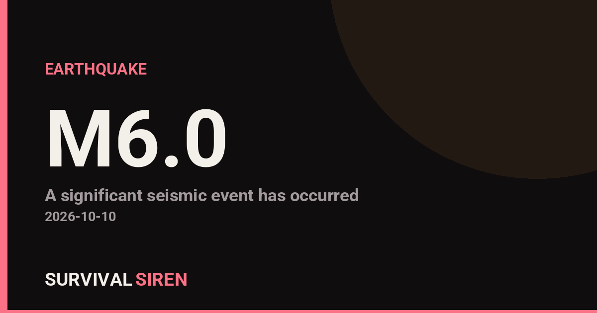
A magnitude 6.0 earthquake struck Panama on Friday, centered 7 kilometers north of La Tronosa at a shallow depth of about 10 kilometers, according to the U.S. Geological Survey. Shallow quakes like this one tend to produce stronger shaking at the surface than deeper events of the same size.
Earthquakes of this magnitude can cause significant damage to vulnerable structures near the epicenter, particularly older or unreinforced buildings in the immediate area. La Tronosa is a small community in Veraguas province, and the nearest major population center is Panama City, roughly 202 kilometers away with a population of about 1.7 million. At that distance, shaking would typically be felt as light to moderate rattling rather than damaging motion, though tall buildings can amplify the sensation.
Residents in the epicentral region may have felt strong shaking lasting several seconds to a minute, possible items falling from shelves, and minor damage such as cracked plaster or shifted contents. People farther away, including in Panama City, may have noticed a gentle swaying or creaking of buildings.
What to watch for
Aftershocks: Quakes of this size are commonly followed by smaller aftershocks over the coming hours and days. If you feel shaking, drop, cover, and hold on. Structural caution: Avoid entering buildings with visible cracks or damage until local officials or engineers clear them. Regional activity: This is at least the 18th magnitude 5.0 or greater earthquake recorded within roughly 300 kilometers of this location in the past year, so this region is seismically active — keeping a basic emergency kit (water, flashlight, first aid, sturdy shoes) is a sensible habit.
Data for this alert comes from the U.S. Geological Survey (USGS) earthquake monitoring network.
Frequently Asked Questions
Was the earthquake felt in Panama City?
Panama City is about 202 km from the epicenter, so shaking there would typically be light to moderate — a noticeable sway or rattle, especially in tall buildings — but not strong enough to cause damage.
Is a tsunami possible?
The epicenter is inland, 7 km north of La Tronosa, which makes a tsunami very unlikely. Tsunamis generally require larger undersea earthquakes that displace the seafloor.
Are aftershocks likely?
Yes, magnitude 6.0 earthquakes are commonly followed by smaller aftershocks over hours to days. Most will be weaker than the main shock, but be cautious around damaged structures.
Is this area normally seismically active?
Yes — this is at least the 18th magnitude 5.0+ quake within roughly 300 km of this spot in the past year, as the region sits near the boundary of tectonic plates in Central America.
Keep tracking this:
Source: USGS
Related Reading
- Global Seismic Stress Report: Southern Ocean Activity Rises While Six Segments Go Quiet
- Earthquake Survival: Precautions, Kit & Early Warning in 2026
- Analyzing Low-Radiation Nuclear Explosions: Tactical Assessments and Survival Strategies
Reported Impact
11 people have reported feeling this quake to USGS’s “Did You Feel It?” system so far; the maximum reported shaking intensity is 5.6 on the Community Decimal Intensity scale; USGS’s automated PAGER system currently estimates a Yellow alert level (localized casualties or damage possible).
Impact figures are from USGS as of when this alert was generated and can rise as more reports come in – this is not a final damage assessment.
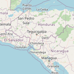

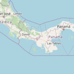
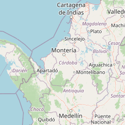

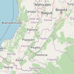
Map centered on the epicenter (7.51, -80.60). Map data © OpenStreetMap contributors.
Sky & Solar Conditions at the Time
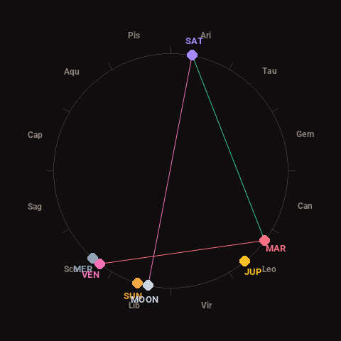
Moon: New Moon (0% illuminated), in Libra.
Notable planetary angles: Moon opposite Saturn (180°), Venus square Mars (91°), Mars trine Saturn (116°).
Concurrent space weather: planetary Kp index 2.3; strongest recent solar flare: nothing notable.
This is a factual snapshot, not a claim of cause and effect – researchers are divided on whether lunar, planetary or solar factors influence seismic or weather activity. It’s included so readers can track the pattern for themselves over time.
Earthquakes Within ~400 km, Past 30 Days
For context, here is other recent seismic activity in the surrounding region (M2.5+, via USGS):
| Date & Time (UTC) | Magnitude | Location |
|---|---|---|
| 2026-10-09 23:57 UTC | M4.7 | 14 km W of Río Grande, Panama |
| 2026-10-09 23:54 UTC | M4.5 | 45 km SSE of Pedasí, Panama |
| 2026-10-09 23:23 UTC | M4.9 | 9 km SW of Río Grande, Panama |
| 2026-10-09 23:12 UTC | M5.4 | 9 km SSE of Los Asientos, Panama |
| 2026-10-09 23:10 UTC | M5.0 | 8 km ESE of La Tronosa, Panama |
| 2026-10-09 21:47 UTC | M4.6 | 4 km NNE of Río Grande, Panama |
| 2026-10-09 21:05 UTC | M4.9 | 13 km W of Río Grande, Panama |
| 2026-10-09 20:54 UTC | M4.9 | 16 km SSW of Calidonia, Panama |
| 2026-10-09 20:42 UTC | M5.0 | 13 km W of Río Grande, Panama |
| 2026-10-09 20:41 UTC | M4.9 | 8 km SSE of Leones Arriba, Panama |
| 2026-10-09 20:25 UTC | M6.6 | 14 km W of Río Grande, Panama |
| 2026-10-09 20:21 UTC | M5.0 | 6 km NE of La Tronosa, Panama |
| 2026-10-09 20:20 UTC | M4.9 | 12 km SSW of Tebario, Panama |
| 2026-10-09 19:48 UTC | M5.2 | 11 km SE of Río Grande, Panama |
| 2026-10-09 19:45 UTC | M4.8 | 2 km N of Los Asientos, Panama |
| 2026-10-09 19:42 UTC | M4.5 | 5 km N of Oria Arriba, Panama |
| 2026-10-09 19:32 UTC | M4.7 | 8 km N of La Tronosa, Panama |
| 2026-10-09 19:17 UTC | M4.8 | 14 km SSW of Tebario, Panama |
| 2026-10-09 19:04 UTC | M5.0 | 14 km SE of Río Grande, Panama |
| 2026-10-09 18:50 UTC | M5.0 | 18 km S of Los Asientos, Panama |
Emergency number for Panama: 911 (General guidance – always verify locally, as this can vary by region.)