M5.0 Earthquake – southeast of the Loyalty Islands
A magnitude 5.0 earthquake struck southeast of the Loyalty Islands at a depth of about 10 km, reported by the USGS. Shaking would likely be felt in the surrounding region.
A magnitude 5.0 earthquake struck southeast of the Loyalty Islands at a depth of about 10 km, reported by the USGS. Shaking would likely be felt in the surrounding region.
A magnitude 5.0 earthquake struck 5 km SE of Butulan, Philippines at a depth of about 20 km, reported by the USGS. Shaking would likely be felt in the surrounding region.
A magnitude 5.1 earthquake struck southeast of the Loyalty Islands at a depth of about 10 km, reported by the USGS. Shaking would likely be felt in the surrounding region.
A magnitude 6.3 earthquake struck southeast of the Loyalty Islands at a depth of about 10 km, reported by the USGS. Earthquakes of this size can cause significant damage to vulnerable structures near the epicenter.
A magnitude 6.7 earthquake struck southeast of the Loyalty Islands at a depth of about 10 km, reported by the USGS. Earthquakes of this size can cause significant damage to vulnerable structures near the epicenter.
A large-scale power outage is being reported: "International News: Cuba suffers 2nd nationwide blackout in a week as power crisis deepens". Widespread outages can be caused by severe weather, grid failures, or - relevant to what this site tracks - a strong geomagnetic storm inducing damaging currents in transformers.
A magnitude 6.4 earthquake struck 191 km SE of Lorengau, Papua New Guinea at a depth of about 10 km, reported by the USGS. Earthquakes of this size can cause significant damage to vulnerable structures near the epicenter.
A magnitude 5.0 earthquake struck southeast of the Loyalty Islands at a depth of about 10 km, reported by the USGS. Shaking would likely be felt in the surrounding region.
A magnitude 5.4 earthquake struck 24 km WSW of Mabiton, Philippines at a depth of about 10 km, reported by the USGS. Shaking would likely be felt in the surrounding region.
When independent sources converge on the same conclusion without coordinating, analysts have found something real. Here's how convergence detection works, from the Cuban Missile Crisis to 2026's deepfake threat.
A magnitude 5.3 earthquake struck 192 km WNW of Gorontalo, Indonesia at a depth of about 35 km, reported by the USGS. Shaking would likely be felt in the surrounding region.
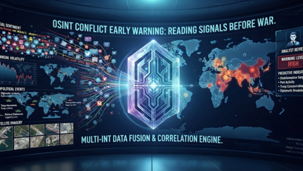
Long before a war makes the evening news, satellite constellations, event databases, and crowdsourced verification are already tracking the buildup. Here is how OSINT conflict early warning actually works, and where it still fails.
The Pearl Harbor attack wasn't a failure of missing intelligence, it was a failure of drowning signal in noise. That same problem, at a scale nobody in 1941 could have imagined, defines OSINT work today.
A magnitude 5.1 earthquake struck 27 km SSE of Tambolaka, Indonesia at a depth of about 43 km, reported by the USGS. Shaking would likely be felt in the surrounding region.
Open-source intelligence is more accessible now than ever, but the tools matter less than the discipline behind them. Here's a beginner's guide to sources, tools, and the ethical line investigators have to walk.
A magnitude 5.0 earthquake struck 139 km S of ‘Ohonua, Tonga at a depth of about 10 km, reported by the USGS. Shaking would likely be felt in the surrounding region.
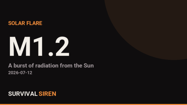
GOES satellites measured a M1.2-class solar flare peaking at 2026-07-12T08:11:00Z (X-ray flux 1.2e-5 W/m2, radio-blackout scale ~R1). Flares cause immediate shortwave radio blackouts on Earth's sunlit side. If this flare launched a CME toward Earth, a geomagnetic storm could follow in 1-3 days - worth watching the Kp index.
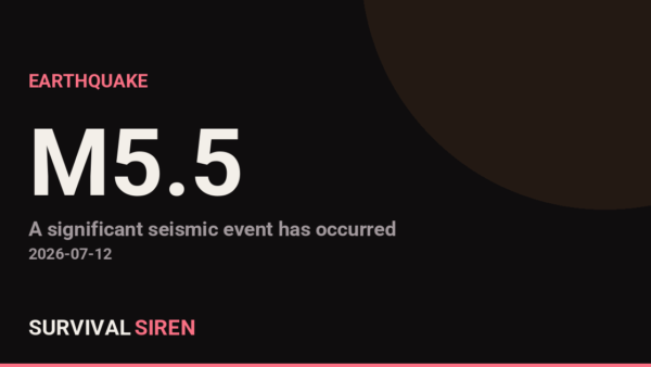
A magnitude 5.5 earthquake struck southern East Pacific Rise at a depth of about 10 km, reported by the USGS. Shaking would likely be felt in the surrounding region.
A large-scale power outage is being reported: "Cuba's power grid collapses, plunges eastern provinces into major blackout". Widespread outages can be caused by severe weather, grid failures, or - relevant to what this site tracks - a strong geomagnetic storm inducing damaging currents in transformers.
A magnitude 5.2 earthquake struck 56 km SSW of Sarangani, Philippines at a depth of about 62 km, reported by the USGS. Shaking would likely be felt in the surrounding region.
A magnitude 5.1 earthquake struck 89 km NE of Hihifo, Tonga at a depth of about 10 km, reported by the USGS. Shaking would likely be felt in the surrounding region.
A magnitude 5.4 earthquake struck 41 km S of Sarangani, Philippines at a depth of about 57 km, reported by the USGS. Shaking would likely be felt in the surrounding region.
A magnitude 6.4 earthquake struck South Sandwich Islands region at a depth of about 46 km, reported by the USGS. Earthquakes of this size can cause significant damage to vulnerable structures near the epicenter.
A large-scale power outage is being reported: "Cuba suffers second nationwide blackout in five days". Widespread outages can be caused by severe weather, grid failures, or - relevant to what this site tracks - a strong geomagnetic storm inducing damaging currents in transformers.
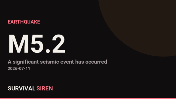
A magnitude 5.1 earthquake struck 129 km SW of Huarmey, Peru at a depth of about 10 km, reported by the USGS. Shaking would likely be felt in the surrounding region.
A magnitude 5.4 earthquake struck South Sandwich Islands region at a depth of about 105 km, reported by the USGS. Shaking would likely be felt in the surrounding region.
A magnitude 5.0 earthquake struck 299 km W of Neiafu, Tonga at a depth of about 368 km, reported by the USGS. Shaking would likely be felt in the surrounding region.
Flash Flood Warning issued July 10 at 1:46PM CDT until July 10 at 4:15PM CDT by NWS St Louis MO (National Weather Service, United States). Affected area: Iron, MO; Reynolds, MO.
A magnitude 5.0 earthquake struck west of Macquarie Island at a depth of about 10 km, reported by the USGS. Shaking would likely be felt in the surrounding region.
Flash Flood Warning issued July 10 at 11:42AM CDT until July 10 at 2:15PM CDT by NWS St Louis MO (National Weather Service, United States). Affected area: Iron, MO; Reynolds, MO.
A large-scale power outage is being reported: "Thousands of households can get free fans and blackout curtains under new £1million scheme". Widespread outages can be caused by severe weather, grid failures, or - relevant to what this site tracks - a strong geomagnetic storm inducing damaging currents in transformers.
Flash Flood Warning issued July 10 at 9:20AM CDT until July 10 at 12:15PM CDT by NWS St Louis MO (National Weather Service, United States). Affected area: Iron, MO; Reynolds, MO.
Flash Flood Warning issued July 10 at 5:44AM CDT until July 10 at 10:15AM CDT by NWS St Louis MO (National Weather Service, United States). Affected area: Iron, MO; Reynolds, MO.
Flash Flood Warning issued July 10 at 4:16AM CDT until July 10 at 10:15AM CDT by NWS St Louis MO (National Weather Service, United States). Affected area: Iron, MO; Reynolds, MO.
A large-scale power outage is being reported: "Wednesday night thunderstorm brings widespread power outage". Widespread outages can be caused by severe weather, grid failures, or - relevant to what this site tracks - a strong geomagnetic storm inducing damaging currents in transformers.
A magnitude 5.0 earthquake struck 19 km ENE of Abuyog, Philippines at a depth of about 104 km, reported by the USGS. Shaking would likely be felt in the surrounding region.
A magnitude 5.1 earthquake struck 59 km NNE of Port-Olry, Vanuatu at a depth of about 160 km, reported by the USGS. Shaking would likely be felt in the surrounding region.
A magnitude 5.1 earthquake struck 50 km SW of Shirahama, Japan at a depth of about 10 km, reported by the USGS. Shaking would likely be felt in the surrounding region.
GOES satellites measured a M1.2-class solar flare peaking at 2026-07-09T02:27:00Z (X-ray flux 1.2e-5 W/m2, radio-blackout scale ~R1). Flares cause immediate shortwave radio blackouts on Earth's sunlit side. If this flare launched a CME toward Earth, a geomagnetic storm could follow in 1-3 days - worth watching the Kp index.
A large-scale power outage is being reported: "Cuban Leadership Claims Innovative Solutions Amidst Widespread Power Outage". Widespread outages can be caused by severe weather, grid failures, or - relevant to what this site tracks - a strong geomagnetic storm inducing damaging currents in transformers.
A magnitude 5.0 earthquake struck 1 km NNW of Xunchang, China at a depth of about 10 km, reported by the USGS. Shaking would likely be felt in the surrounding region.
A magnitude 5.5 earthquake struck Balleny Islands region at a depth of about 10 km, reported by the USGS. Shaking would likely be felt in the surrounding region.
GOES satellites measured a M1.6-class solar flare peaking at 2026-07-08T17:56:00Z (X-ray flux 1.6e-5 W/m2, radio-blackout scale ~R1). Flares cause immediate shortwave radio blackouts on Earth's sunlit side. If this flare launched a CME toward Earth, a geomagnetic storm could follow in 1-3 days - worth watching the Kp index.
A magnitude 5.4 earthquake struck Chagos Archipelago region at a depth of about 10 km, reported by the USGS. Shaking would likely be felt in the surrounding region.
A magnitude 5.4 earthquake struck 245 km S of ‘Ohonua, Tonga at a depth of about 10 km, reported by the USGS. Shaking would likely be felt in the surrounding region.
A magnitude 5.2 earthquake struck 109 km SW of Isangel, Vanuatu at a depth of about 10 km, reported by the USGS. Shaking would likely be felt in the surrounding region.
A magnitude 5.0 earthquake struck 110 km SE of Kimbe, Papua New Guinea at a depth of about 26 km, reported by the USGS. Shaking would likely be felt in the surrounding region.
A magnitude 5.8 earthquake struck 91 km SSW of Isangel, Vanuatu at a depth of about 10 km, reported by the USGS. Shaking would likely be felt in the surrounding region.
A large-scale power outage is being reported: "Power outage affects tens of thousands across the Vail Valley". Source: https://news.google.com/rss/articles/CBMimAFBVV95cUxQS2owQTBKZV9QazdDTF9oWC1VZ3FueHhZcmRmSlBGRnBHUnV3SGRFb0hRWXZJNndvOVk5T3RjTHQyMDNfcUQxNlFVYk80c0NXV3RreGMwVWtMeWY4V2lSY3JxUkg4MEhaVk1qZkN3UzZSQU50eF8teThSWDVCUkxLOUJaYUdBWk5zRU81RXBaVjhtMHFMUWhkdA?oc=5. Widespread outages can be caused by severe weather, grid failures, or - relevant to what this site tracks - a strong geomagnetic storm inducing damaging currents in transformers.
A magnitude 5.0 earthquake struck 15 km NNE of Xunchang, China at a depth of about 10 km, reported by the USGS. Shaking would likely be felt in the surrounding region.